
Visions of Napa · @visionsofnapa
442 followers · 1986 posts · Server sfba.social
Some of Napa communities' weather on the National #Weather Services website & Watch Duty #fire map:
#Napa airport: https://forecast.weather.gov/MapClick.php?lat=38.2991&lon=-122.2854#.Y3g9zXbMIYt
#Angwin: https://forecast.weather.gov/MapClick.php?CityName=Angwin&state=CA&site=MTR&lat=38.5771&lon=-122.441#.X-vHtdhKhJ8
#Mayacamas mountains SSW of St Helena: https://forecast.weather.gov/MapClick.php?lon=-122.50099182128905&lat=38.45681495946778#.YMFHFPlKiCo
#Calistoga: https://forecast.weather.gov/MapClick.php?lat=38.5788&lon=-122.5795
Watch Duty fire map: https://app.watchduty.org/
#weather #fire #napa #angwin #mayacamas #calistoga #cawx #california
Visions of Napa · @visionsofnapa
237 followers · 750 posts · Server sfba.social
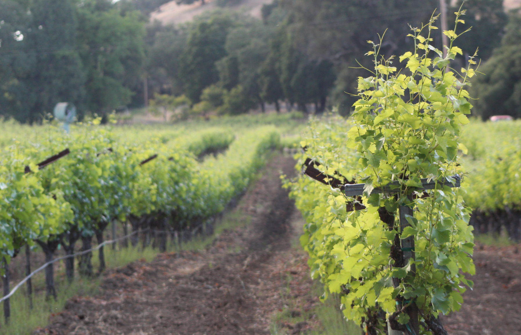
There’s still enough runoff from the #Mayacamas mountains to create this wonderful little #waterfall and pool in the Napa creek near downtown Napa.
#NapaValley #California #nature #NaturePhotography #walking #hiking
#waterfallwednesday #mayacamas #waterfall #napavalley #california #nature #naturephotography #walking #hiking

Marc Schwager · @CavedaleRhones
57 followers · 205 posts · Server sfba.social
One of my favorite roads in wine country. This nasty gravel/dirt road runs along the Napa/Sonoma border separating the Mt Veeder AVA and the Moon Mountain AVA. 4WD helps, ground clearance necessary. First photo is a view to the north, and the second is the view at the end of the road. #napa #SonomaValley #Mayacamas #dirtroad #SkyVineyards #HannaBismarkKnob #RandomRidge
#napa #sonomavalley #mayacamas #dirtroad #skyvineyards #hannabismarkknob #randomridge