
Tykayn · @tykayn
-1 followers · 35083 posts · Server mastodon.cipherbliss.com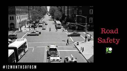
RT @OpenStreetMapUS
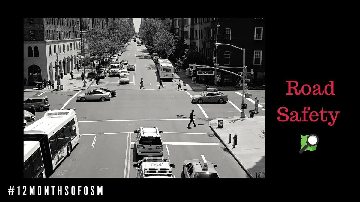
Did you know? Over 1.35 million people die from traffic-related deaths each year. The Global Road Safety Partnership, hosted by #IFRC, serves to address this crisis by connecting governments, civil society, & businesses to find solutions. https://buff.ly/2T6Kc1B #12monthsofOSM
Tykayn · @tykayn
-1 followers · 35085 posts · Server mastodon.cipherbliss.com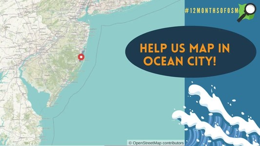
RT @OpenStreetMapUS
Looking for mapping ideas this weekend? We've got you covered! In #OSM, help map buildings in Ocean County, New Jersey - ranked as the 3rd highest risk county for coastal flooding in FEMA’s National Risk Index. Use the changeset comment #12monthsofOSM when uploading your edits!

Tobias Zeumer · @vform
218 followers · 4597 posts · Server openbiblio.social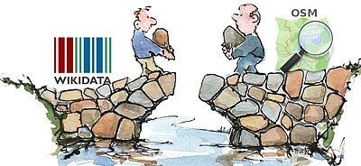
RT @OpenStreetMapUS@twitter.com
Good open data is linked data! While you're mapping historical features this month for #12MonthsofOSM, don't forget to add Wikidata tags. Learn how to connect OSM with Wikidata here: https://buff.ly/2YQtIjn
🐦🔗: https://twitter.com/OpenStreetMapUS/status/1448707939347349509

#WikiParty · @michaelgraaf
147 followers · 7370 posts · Server campaign.openworlds.infoRT @arnalielsewhere
Love this june #mappyhour write up!
@OpenStreetMapUS is highlighting the importance of #OpenStreetMap for disaster response and resiliency. @jessbeutler lists few ways how you can support resiliency in your neighborhood by mapping in OSM!
#12MonthsofOSM #drrm #opendata @hotosm https://twitter.com/openstreetmapus/status/1409547655508803586
#mappyhour #openstreetmap #12MonthsofOSM #drrm #opendata