Mark Stosberg · @markstos
309 followers · 849 posts · Server urbanists.socialThis weekend I learned about the lesser-known `GeometryCollection` type of #GeoJSON With that, I was able to mix a point and multiple polygons together in one GeoJSON object, which simply made for a quick way to visualize a mixed group of items together on https://geojson.io
The GeoJSON spec is simple enough that I simply hand-merged three other GeoJSON files into the GeometryCollection format.

Joana Simoes · @doublebyte
153 followers · 116 posts · Server noc.social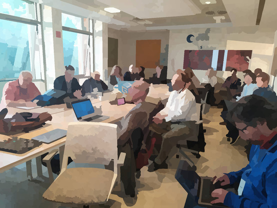
A room packed, to hear from the JSON-FG Working group at the #OGC #MM125 ; the group is now waiting for feedback from implementations - are there use cases for this format? do #GeoJSON users feel limited by not being able to use different CRS or solid geometries? #standards
#standards #GeoJSON #mm125 #OGC

Mete · @mete
11 followers · 6 posts · Server mapstodon.spaceHere it is; https://github.com/mtrcn/quick-geojson waiting for the approval.
#gis #qgis #plugin #GeoJSON

Ben Keith 🚲 · @benlk
66 followers · 146 posts · Server urbanists.socialHow do y'all draw #maps? I'm looking for a vectorized workflow amenable to integration in #LeafletJS, which I guess means I need to be authoring #GeoJSON? What's your preferred tools for doing that these days, and for converting third-party data from #ArcGIS to GeoJSON? Example, https://cota1974.maps.arcgis.com/apps/webappviewer/index.html?id=360f868db3a44581b1896a1c2d40929e
#maps #leafletjs #GeoJSON #arcgis
Joana Simoes · @doublebyte
66 followers · 29 posts · Server noc.social
Grab your spot at the Web Mapping 🌐 - hybrid - Code Sprint! November, 29 - December, 1st #DevCommunity https://dev.to/listings/events/grab-your-spot-at-the-web-mapping-hybrid-code-sprint-november-29-december-1st-32fc #rest #openapi #maps #hackathon #json #geoJSON #webdev #standards #geospatial
#devcommunity #rest #OpenAPI #maps #hackathon #json #GeoJSON #webdev #standards #geospatial
