
Après l'Effondrement · @Aeffondrement
573 followers · 527 posts · Server piaille.fr
RT @Romainsologne@twitter.com
Première carte de 2023. La population autour de la Loire, à partir des données #kontur. #QGIS #aerialod
🐦🔗: https://twitter.com/Romainsologne/status/1614295745611419648

MapAm💜re · @MapAmore
523 followers · 1021 posts · Server en.osm.town
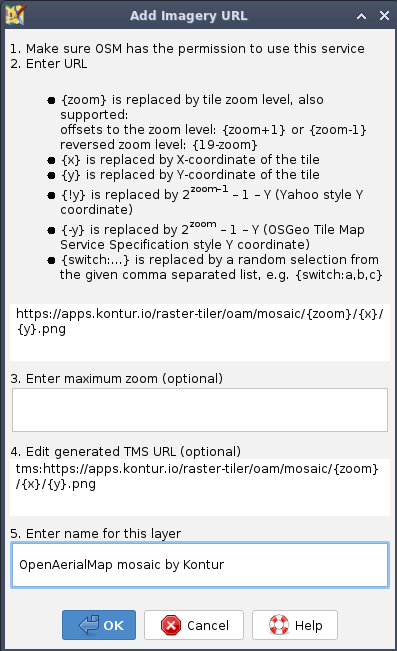
I forgot to mention that the TMS layer URI for the #OpenAerialMap (OAM) mosaic provided by #Kontur is
https://apps.kontur.io/raster-tiler/oam/mosaic/{zoom}/{x}/{y}.png
You can add that TMS to your favorite #OpenStreetMap (OSM) editor.
🎗️ All OAM imagery is allowed to be used with OSM -- but use with caution! There may be alignment issues, and Kontur will always put the latest available imagery on top.
If you're after a specific imagery, best to so directly from OAM.
#openaerialmap #Kontur #OpenStreetMap
MapAm💜re · @MapAmore
523 followers · 1021 posts · Server en.osm.town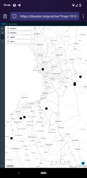
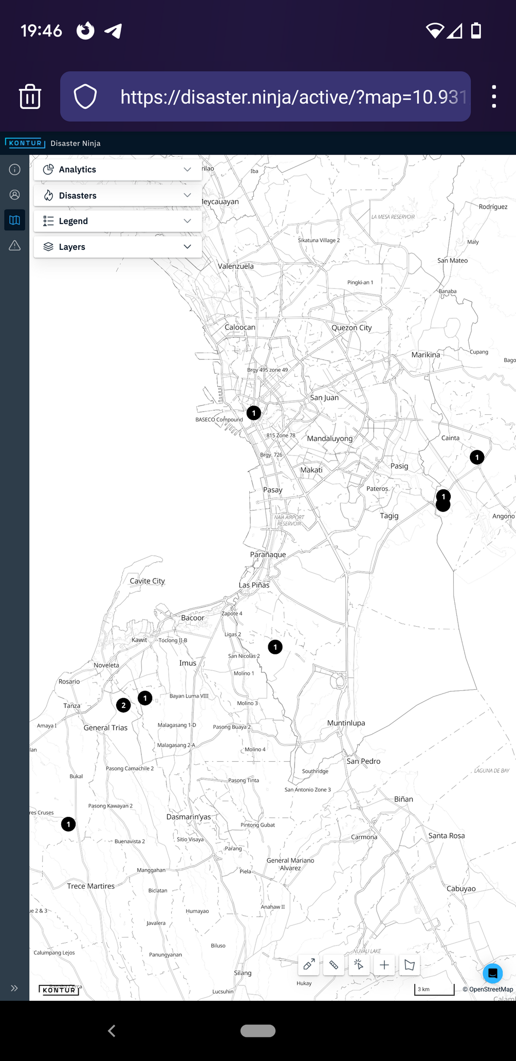
Did you know that #Kontur now serves a mosaic layer of the latest #OpenAerialMap imagery ?
Below are the latest captures made by the awesome #DatumPH team, collaborating with the local #OpenStreetMap community for identifying AOIs.
Have fun with mapping details on OSM!
#Kontur #openaerialmap #DatumPH #OpenStreetMap