Geraint Davies · @Geraint
86 followers · 53 posts · Server mastodon.me.ukMy current hobby project is a watch/iPhone app to create a private journal of your travels by logging your location in the background. Today I added Ordnance Survey maps as an alternative to Apple Maps, and was surprised at how easy it was — a few hours work at most. #watchos #swiftui #OSMaps
Khurram Wadee ✅ · @mkwadee
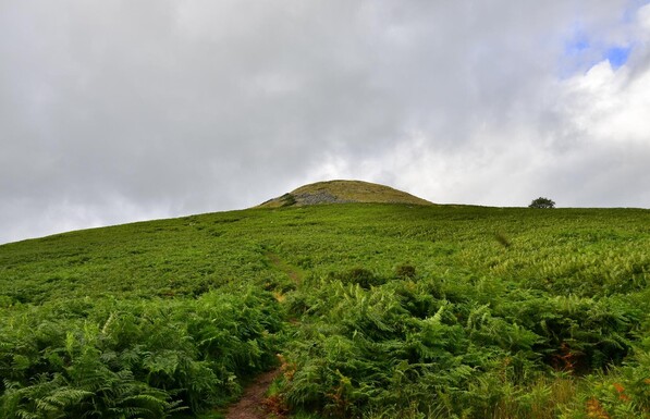
1490 followers · 14462 posts · Server mastodon.org.ukIn the afternoon of the first full day in #BannauBrycheiniog, we travelled to #Crickhowell or #Crughywel to climb #TableMountain, which is also the location of an #IronAge #fort. So, equipped with my #OrdnanceSurveyMap we made steady progress up the slopes, on #roads and then #footpaths, often across #farmland. The total walk was 12.5 km.
Approaching the summit, you can see that the area is covered with #ferns.
#MyWork #MyPhoto #CCBYSA #DSLR #Nikon #D7000 #Summer #Wales #OSMaps
#BannauBrycheiniog #crickhowell #crughywel #TableMountain #ironage #fort #ordnancesurveymap #roads #footpaths #farmland #ferns #mywork #myphoto #ccbysa #dslr #nikon #d7000 #summer #wales #OSMaps
Spaceways · @Spaceways
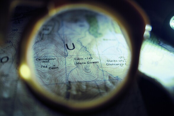
66 followers · 272 posts · Server toot.community26/04/2023 - Just looking at maps this evening. I didn't much fancy going out for a walk after tea. It looked cold and a bit wet out there.
Paul Edwin · @paul_edwin
81 followers · 184 posts · Server mastodon.beerAnybody know why there's somewhere called 'Isle of Man Plantation' in the middle of Wark Forest in Northumberland, UK? About 1km west of Stonehaugh, OS Grid Ref: NY 78083 75784.
Maybe owned by IoM government or something? 🤷♂️
Zoom in on this:
https://explore.osmaps.com/pin?lat=55.076029&lon=-2.344787&zoom=14.8856&style=Standard&type=2d
#OSMaps #northumberland #isleofman
Spaceways · @Spaceways
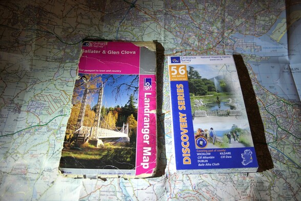
55 followers · 205 posts · Server toot.community24/03/2023 - I like an OS map. The 1:50,000 discovery series from Ordnance Survey Ireland are nice. A bit of a test for my rubbish eyesight as they are on the small size but good for making plans.


