
Dr. Fiona (she/her) · @fiona_chembot
9 followers · 101 posts · Server mastodon.social
Wien ❤️
---
RT @milan_janosov
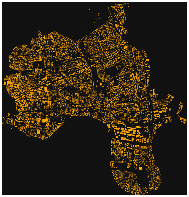
The twelve most livable cities a handful of livability rankings, each city shown by its road network using #openstreetmap #osmnx and @matplotlib published by @DataVizSociety
#GIS #geospatialdata #urbandata #networkscience #urbannetwork #spatialnetwork #milanjanosov
https://twitter.com/milan_janosov/status/1623683843319275521
#openstreetmap #OSMnx #gis #geospatialdata #urbandata #networkscience #urbannetwork #spatialnetwork #milanjanosov

Luis Natera · @natera
205 followers · 94 posts · Server fosstodon.orgIn the latest issues, I examine the concept of 15-minute cities and how software and location intelligence can be leveraged to reimagine urban mobility. Read more: https://buttondown.email/natera/archive/15-minute-cities-leveraging-software-and-location/ #city #15minutescity #OSMnx

joeldn · @joeldn
2 followers · 17 posts · Server en.osm.town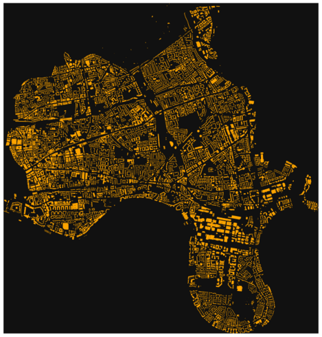
fun with #OSMnx https://github.com/data-hamlets/census-data/blob/main/notebooks/A-0.0-osmnx-features-demo.ipynb - we have been trying to dissolve building footprints into census geometries a la #boothmaps
Luis Natera · @natera
197 followers · 76 posts · Server fosstodon.orgI use #OSMnx to download the street network and appl the Louvain Modilarity algorithm to identify communities within the network. I also created a custom color palette inspired by the work of architect Luis Barragán to color the communities in the visualization.