
· @barefootstache
123 followers · 600 posts · Server en.osm.town#MappingChallenge (Day 30/50)
Learning of limits of Osmand POI creations tool. Continuing to solve notes from Day 29. Made the mistake of not using one of my presets and editing it over writing out the shorthand in the note. In the second hand of the hike went with the editing approach.
Does anyone have a better solution for `bearproof=yes` on waste baskets? (Changeset: https://www.openstreetmap.org/changeset/126200370#map=12/45.4501/14.6929)
Summary:
#MappingChallenge #osmand #OSMtrace #OpenStreetMap
· @barefootstache
123 followers · 600 posts · Server en.osm.town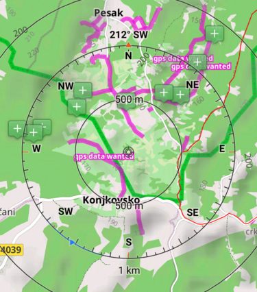
#MappingChallenge (Day 28/50)
Went for a bike ride to check the validity aerial drawn paths. Learnt that most of them ended in a dead end or on private property. So will get to update the recently added ones from day 22 (https://en.osm.town/@barefootstache/108954208320230857).
Also uploaded my first #OSMtrace via #FitoTrack.
Summary:
#osmand: 8
#MappingChallenge #OSMtrace #fitotrack #osmand #OpenStreetMap #croatia