
GregCocks · @GregCocks
598 followers · 534 posts · Server techhub.social
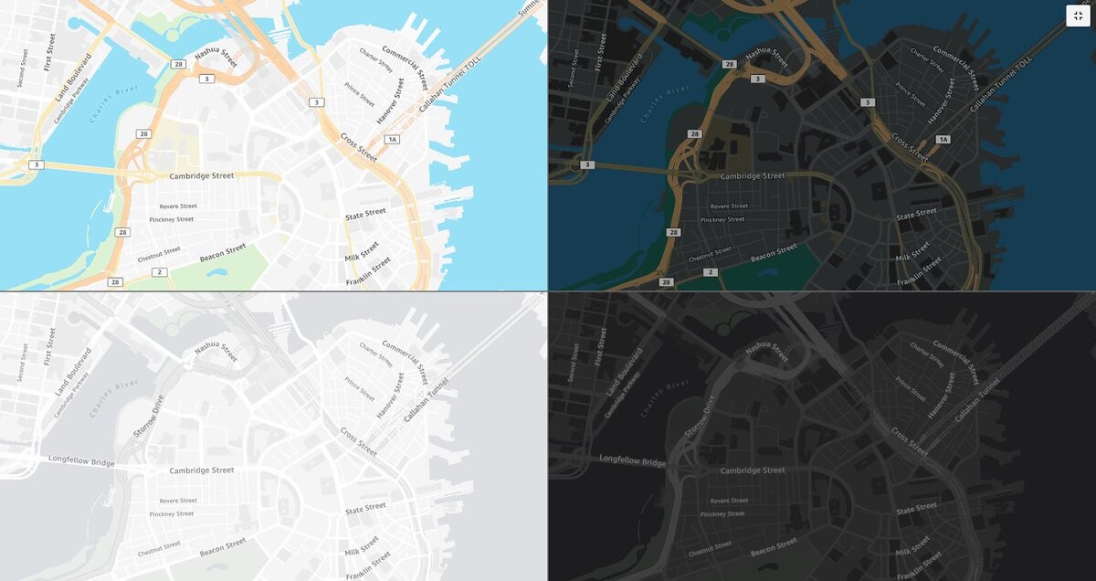
National Park Services (NPS) ‘Park Tiles’ [public web mapping, USA]
--
https://www.nps.gov/maps/tools/park-tiles/index.html#12/38.5640/-107.6372 <-- entry point
--
H/T @james McAndrew + @jake Coolidge
[also a mobile app ]
“Park Tiles is a suite of online basemaps designed to fit the National Park Service’s graphic identity. Built with simplicity and flexibility in mind, Park Tiles basemaps can be used as stand-alone reference maps, or customized web maps with additional data overlays. Park Tiles features NPS-sourced data inside park boundaries, and relies on OpenStreetMap data to provide additional context…”
#GIS #spatial #mapping #PostGIS #PostgresSQL #QGIS #vectortiles #opendata #opensource #gischat #ParkTiles #OSM #basemaps #NPS #maps #webmaps
@NPS
#gis #spatial #mapping #postgis #postgressql #qgis #vectortiles #opendata #opensource #gischat #parktiles #osm #basemaps #nps #Maps #webmaps
GregCocks · @GregCocks
198 followers · 255 posts · Server techhub.social
U.S. Forest Service National Riparian Areas Base Map For The Conterminous United States In 2019
--
https://www.fs.usda.gov/rds/archive/catalog/RDS-2019-0030 <-- shared paper
--
https://storymaps.arcgis.com/stories/8cd69adaaaf541c78f8d867f0ec6b6ef <-- shared story map
--
#GIS #spatial #mapping #opendata #riparian #areas #CONUS #USA #basemaps #ecosystems #vegetation #soil #characteristics #environment #survey #spatialanalysis #monitoring #planning #management #policy #framework #geospatialdatasets #national #raster #floodheight #hydrology #water #NHD #WBD #NHDPlus #hydrologic #wetlands #3DEP #elevation #remotesensing #MRLC #landcover #NLCD #interagency #cooperation
#USFS #USDA #USGS #USFWS
#gis #spatial #mapping #opendata #riparian #areas #conus #USA #basemaps #ecosystems #vegetation #soil #characteristics #Environment #survey #spatialanalysis #monitoring #planning #management #policy #framework #geospatialdatasets #national #raster #floodheight #hydrology #water #nhd #wbd #nhdplus #hydrologic #wetlands #3dep #elevation #remotesensing #mrlc #landcover #nlcd #interagency #cooperation #usfs #usda #usgs #usfws

Rafagas Links · @rafagaslinks
122 followers · 299 posts · Server en.osm.townProtomaps is transitioning from being 'open core', or partially proprietary, to an open source project with a tile generator and style generator for MapLibre GL #basemaps
https://github.com/protomaps/basemaps?utm_source=dlvr.it&utm_medium=mastodon

Kate Leroux · @kateler
43 followers · 2 posts · Server mapstodon.space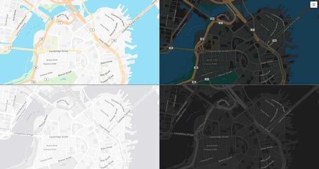
I spent the 2nd half of 2022 working on these map styles and they finally launched! #cartography #basemaps
---
RT @stamen
New work: #AmazonLocationServices has launched four new map styles as part of their Open Data Maps service. Collaborating w/ AWS to make these maps has been a pairing of some of our favorite things: working w/ #OpenStreetMap & delivering custom map styles! https://stamen.com/open-data-maps-for-amazon-location-service-are…
https://twitter.com/stamen/status/1635346715728551937
#cartography #basemaps #amazonlocationservices #OpenStreetMap

Luke Seelenbinder🇨🇭🇪🇪🇺🇸 · @ls
78 followers · 68 posts · Server hachyderm.io
Off to London for @geomob tonight! I'm planning to act like an expert about #imagery #basemaps and tell all about how @stadiamaps is delivering a top tier imagery map at best-in-class pricing. Should be fun! 😄
I'm around til Friday, so give me a shout if you want to meetup.
Rafagas Links · @rafagaslinks
82 followers · 80 posts · Server en.osm.town
The Stamen basemaps, which have been online for free for over ten years and may disappear this 2023 due to lack of money, are well present in the #30DayMapChallenge #basemaps