
Sander Meijer · @bergmeister
499 followers · 2750 posts · Server mountains.socialThe video of the 2023 edition of the Inferno Triathlon is now online:
https://www.youtube.com/watch?v=1RNKgGuV-VY
#Inferno #InfernoTriathlon #Triathlon #SwimBikeRun #BernerOberland #BerneseOberland
#inferno #infernotriathlon #triathlon #swimbikerun #berneroberland #berneseoberland
Sander Meijer · @bergmeister
473 followers · 2571 posts · Server mountains.social
This Saturday the 25th edition of the Inferno Triathlon will take place in the Bernese Oberland.
"The hardest triathlon in the most beautiful surroundings of the world".
Swim: 3.1km (Thun --> Oberhofen in Lake Thun)
Road Bike: 97km with 2145m of climbing (Oberhofen --> Grindelwald via Grosse Scheidegg)
MTB: 30km with 1180m of climbing (Grindelwald --> Stechelberg via Kleine Scheidegg)
Run: 25km with 2175m of climbing (Stechelberg --> Schilthorn)
One can participate as single athlete, as part of a couple or team.
https://www.inferno.ch/en-GB/Welcome
(photos not mine)
#Inferno #InfernoTriathlon #Triathlon #SwimBikeRun #BernerOberland #BerneseOberland
#infernotriathlon #triathlon #swimbikerun #berneroberland #berneseoberland #inferno
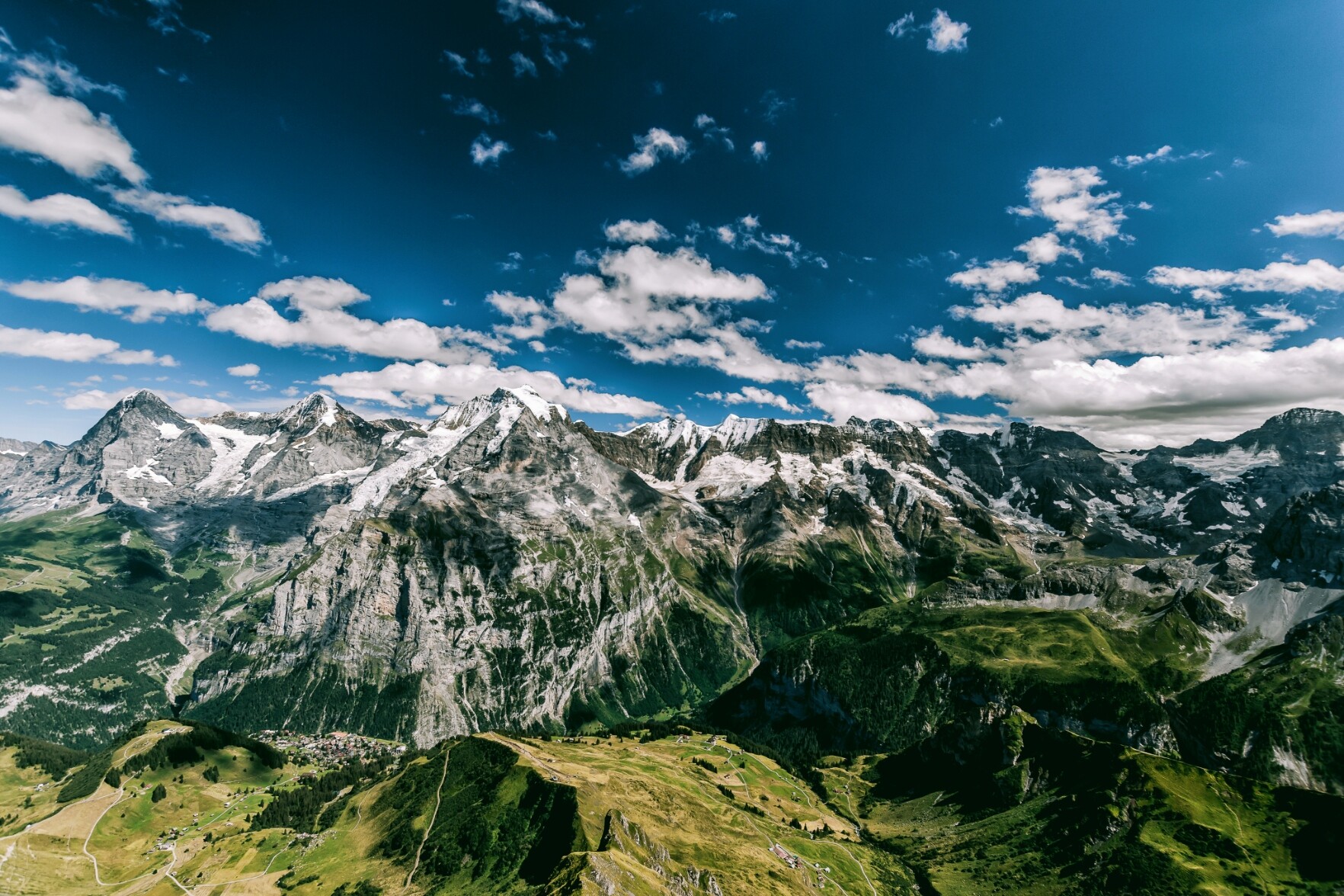
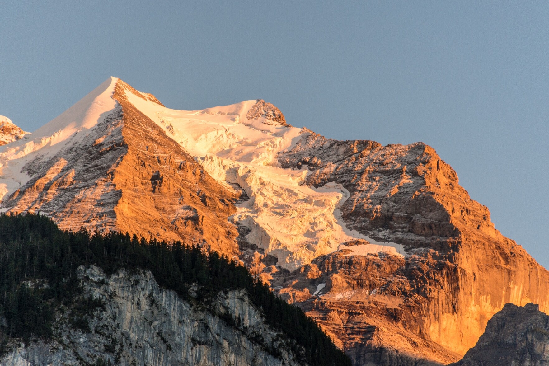
Sander Meijer · @bergmeister
470 followers · 2528 posts · Server mountains.social
View from the Engelhorn (1'776m / 5'826ft) in the Bernese Oberland. Because of its modest height the Engelhorn is a nice mountain to summit in spring and fall wenn higher up snow might already limit the options.
https://s.geo.admin.ch/a11e52c9b0
#MountainsMonday #MountainMonday #Hiking #WeeklyHikingPicture #Engelhorn #BerneseOberland #BernerOberland
#mountainsmonday #mountainmonday #hiking #weeklyhikingpicture #engelhorn #berneseoberland #berneroberland
Sander Meijer · @bergmeister
468 followers · 2517 posts · Server mountains.social
Suggestion 6:
Simmeflue / Sunnighorn
https://www.google.com/maps/@46.6765715,7.6221375,2205m/data=!3m1!1e3?entry=ttu
This is like an easy via ferrata, but without the cable. At some key point there is a cable to hold on to, but otherwise you are unsecured. It is not especially dangerous however. On the way to the top, you will pass a small cave where you can have a nice rest.
Note: people with vertigo should stay away from this one.
Elevation difference: 815 meters up and down
Duration: approx 3-4 hours
Public transporation: start at busstop "Wimmis, Brodhüsi".
#hiking #berneseoberland #berneroberland
Sander Meijer · @bergmeister
468 followers · 2513 posts · Server mountains.social
Suggestion 4:
Visit to the Lobhornhütte (https://lobhornhuette.ch)
One of my personal favorites, as it gives you a massive panoramic view of the Eiger, Mönch and Jungfrau). This is an easy hike, also very well suited for children. The surroundings change quickly (forest, rocks with stream where kids can play, nice hut run by very nice people, a small lake).
Elevation difference: 460 meters up and down
Duration: approx 2.5 hours
Public transportation: by bus from Lauterbrunnen to "Isenfluh, Dorf". Then up by cablecar Isenfluh. Back via the same route.
#hiking #berneseoberland #berneroberland
Sander Meijer · @bergmeister
468 followers · 2511 posts · Server mountains.social
Suggestion 3:
Augstmatthorn, via ridge to Harder Kulm.
Super nice ridge high over Lake Brienz with beautiful views over the 4000-ers of the Bernese Oberland.
Elevation difference: 760 meters up, 1000 meters down
Duration: approx 4.5 hours.
Public transportation: You first go to "Habkern, Zäundli". From there you take the privately run shuttlebus to Lombachalp-Roteschwand. Mind the schedule!
https://busalpin.ch/regionen/habkern-lombachalp/sommer
You start at Restaurant Lombachalp. https://www.jaegerstueblilombachalp.ch
At the end, from Harder Kulm, you can go down by funiculare to Interlaken.
#hiking #berneseoberland #berneroberland
Sander Meijer · @bergmeister
468 followers · 2511 posts · Server mountains.social
Suggestion 2:
Hiking at Oeschinensee
https://www.google.com/maps/@46.4975857,7.712315,17z?entry=ttu
Oeschinensee is very popular and and can be very crowded. However, when you walk 15 minutes from the main spot, the amount of people are left over, is limited. Oeschinensee is super beautiful and a must-do.
Elevation difference: 508 meter
Duration: approx 3 hours.
Public transportation: Trainstation "Kandersteg", you can then walk to the Oeschinensee Gondola. Route starts at the top of the gondola.
#hiking #berneseoberland #berneroberland
Sander Meijer · @bergmeister
468 followers · 2508 posts · Server mountains.social
Suggestion 1:
Via Ferrata (Klettersteig) Chäligang Engstligen Alp.
Very nice via ferrata of category K2 (on a scale from K1 to K5).
Elevation difference: 560 meter
Duration: approx 3 hours.
You can rent all the required material at the cablecar station. After the via ferrata, you can descend by cablecar.
Public transportation: Busstop "Adelboden, Unter dem Birg".
https://engstligenalp.ch/sommer/erleben/klettern-und-bouldern/
#hiking #berneseoberland #berneroberland
Sander Meijer · @bergmeister
468 followers · 2507 posts · Server mountains.socialI have been asked, what my recommendations would be for half-day / day hiking trips in the Bernese Oberland. There are countless options, but I will post some of the trips I have done, which should suit others as well.
Preconditions:
- approx 4-5 hours
- around 800 m of elevation difference
- doable by public transport
My personal input: away from the absolute tourist hotspots.
Two apps are highly recommended:
- SBB app for public transportation across Switzerland (train, bus, boat, cable car, etc)
- SwissTopo app for very high quality free hiking maps (on- and offline), creation of hiking routes showing elevation profile, estimated hiking time, etc.
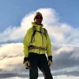
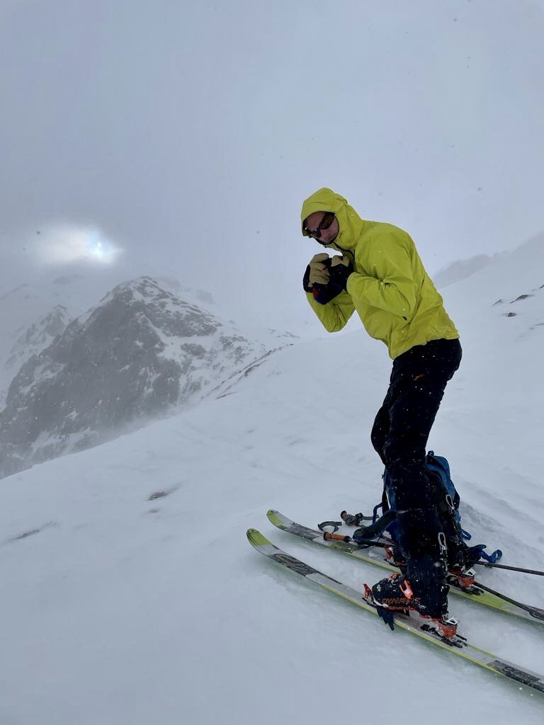
Iain MacGilleBhràith · @AeonMach
642 followers · 2675 posts · Server mstdn.social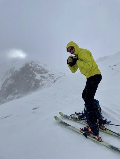
In the western Bernese Oberland!
But spring is on hold with fresh snow, cold and wind! Nice in between; a bit brutal at times… should be better from tomorrow.
#SkiTouring #SkiMountainering #Switzerland #BerneseOberland #Alps
#alps #berneseoberland #switzerland #skimountainering #skitouring

Kelvin Lau · @klausenhauser
362 followers · 139 posts · Server struct.bio
RT @Murrenlover
Winter has returned to #Mürren. Snow depth: Village 50cm / higher up: 127cm
#murren #jungfrauregion #berneseoberland #swissalps
#murren #jungfrauregion #berneseoberland #swissalps
James Daniel · @realbanana
345 followers · 74 posts · Server mastodonapp.uk
James Daniel · @realbanana
339 followers · 65 posts · Server mastodonapp.uk
James Daniel · @realbanana
312 followers · 52 posts · Server mastodonapp.uk
James Daniel · @realbanana
304 followers · 47 posts · Server mastodonapp.uk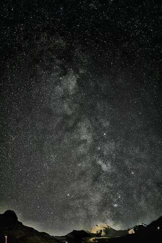

