Bike Canada Route Network · @bikeacrosscanada
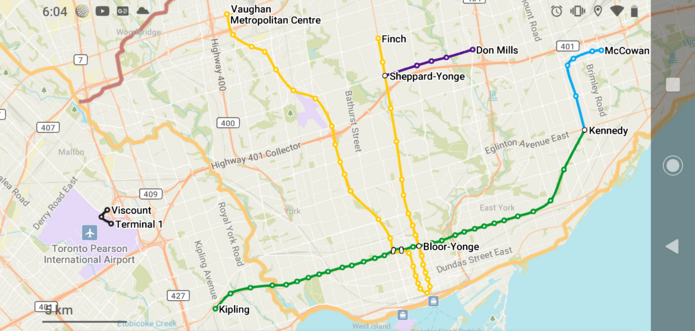
41 followers · 113 posts · Server universeodon.comAnyone interested in making a Subway map for the Bike Across Canada Route Network?
#maps #gis #subway #bikeacrosscanada #Canada
Bike Canada Route Network · @bikeacrosscanada
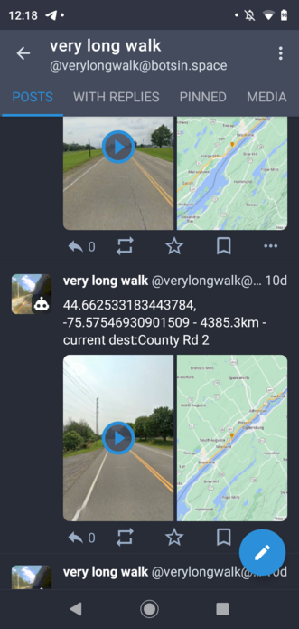
31 followers · 84 posts · Server universeodon.comThe bot @verylongwalk does follow some roads that the Bike Across Canada Route Network follows, so those (when found) will be reblogged here
#bikeacrosscanada #cycling #Canada
#bikeacrosscanada #cycling #Canada
Bike Canada Route Network · @bikeacrosscanada
25 followers · 67 posts · Server universeodon.comHow to build the National Cycling Route Network;
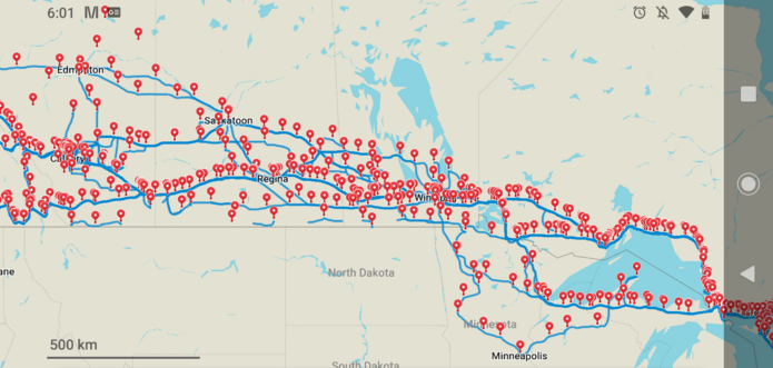
Step 1: Load and organize many GPS tracks and end of day locations and plot them all on a single map. Done.
This will show what the most popular routes are that people have taken. And there will be clusters of points at various campgrounds/accommodations as many stay at the same places and go an average distance each day.
Design the network for what people will actually use.
#bikeacrosscanada #ncn #cycling #network #route #canada #travel
#bikeacrosscanada #ncn #cycling #network #route #Canada #travel
Bike Canada Route Network · @bikeacrosscanada
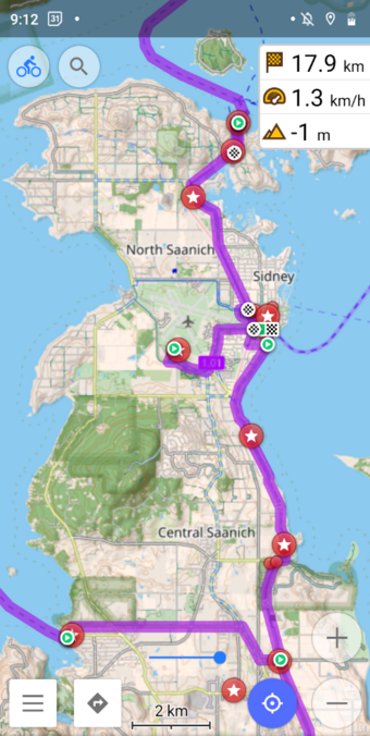
25 followers · 67 posts · Server universeodon.comThe proposed National Cycling Route Network, the Bike Across Canada Route Network can be viewed with the OSMand App @openstreetmap Openstreetmap Android App. This is showing the cyclemap layer with the contour lines and hillshading on. And the GPX file for the network in purple.
#bikeacrosscanada #cycling #canada #coast2coast #ncn
You can download the Zip file containing all of the goodies, hosted on @internetarchive
#bikeacrosscanada #cycling #Canada #coast2coast #ncn
Bike Canada Route Network · @bikeacrosscanada
5 followers · 27 posts · Server universeodon.comYou can download the Organics Map in the flavour of your liking from the website
https://organicmaps.app/
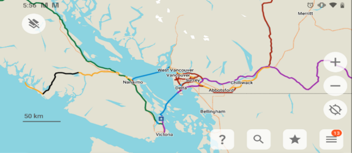
Here's the Bike Across Canada Route Network over the Vancouver Island and lower mainland Vancouver area. (The full network ZIP file is available from the link on the 1st toot.
