
Marc Hedlund · @marcprecipice
1513 followers · 2796 posts · Server xoxo.zone
Scott Feeney · @graue
157 followers · 280 posts · Server social.coop
You can now long-press the map in #BikeHopper to select a destination. A much-desired feature that should help when we don’t know the business name or address you’re looking for!
Scott Feeney · @graue
149 followers · 302 posts · Server social.coop
Today in #BikeHopper: shipped several little bug/annoyance fixes, including initializing the date picker properly. Also converted the build system from Create React App to #Vite.
Code: https://github.com/bikehopper/bikehopper-ui
Live version supporting SF Bay Area only: https://bikehopper.org
Scott Feeney · @graue
136 followers · 580 posts · Server social.coopThings I've learned implementing service alert display in #BikeHopper:
1. Bay Area transit agencies don't translate any of their alerts, except...
2. AC Transit does, but it does so by appending English, Spanish and Chinese into one super long string instead of using the actual translation mechanism.
3. You can't filter transit agencies' promotional crap (ex. Muni announcing the new* 1X route as an alert affecting all lines) because they set every alert's cause, effect & severity to unknown.
Scott Feeney · @graue
115 followers · 1443 posts · Server social.coop
The biggest challenge for #BikeHopper right now is #geocoding.
We're able to get great streets data from #OpenStreetMap, but most businesses, and even a lot of building addresses, are missing in the SF Bay Area.
For example, this coffeeshop that's been open for years is unknown to OSM. And if you enter its address, you get completely wrong results (that vary based on specificity).
We're using Photon for this search, but are gonna try to see if Pelias can do any better.
#bikehopper #geocoding #openstreetmap

aditya 🌱 · @bambipotf
605 followers · 966 posts · Server sfba.social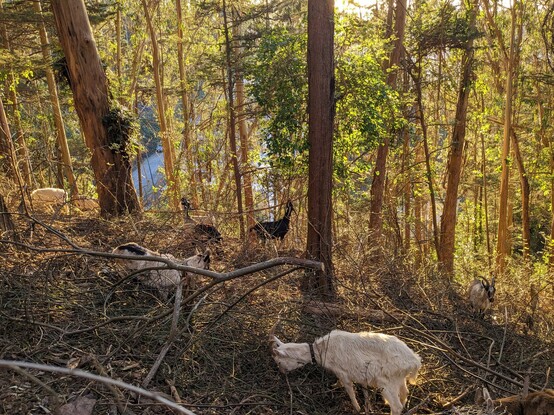
Adam and I went to check out the goats on Mt Sutro. they're incredible, eating all the invasive ivy and blackberries
took a #bikehopper route from there to Scenic Routes, it worked great
#bikehopper #sanfrancisco #goats
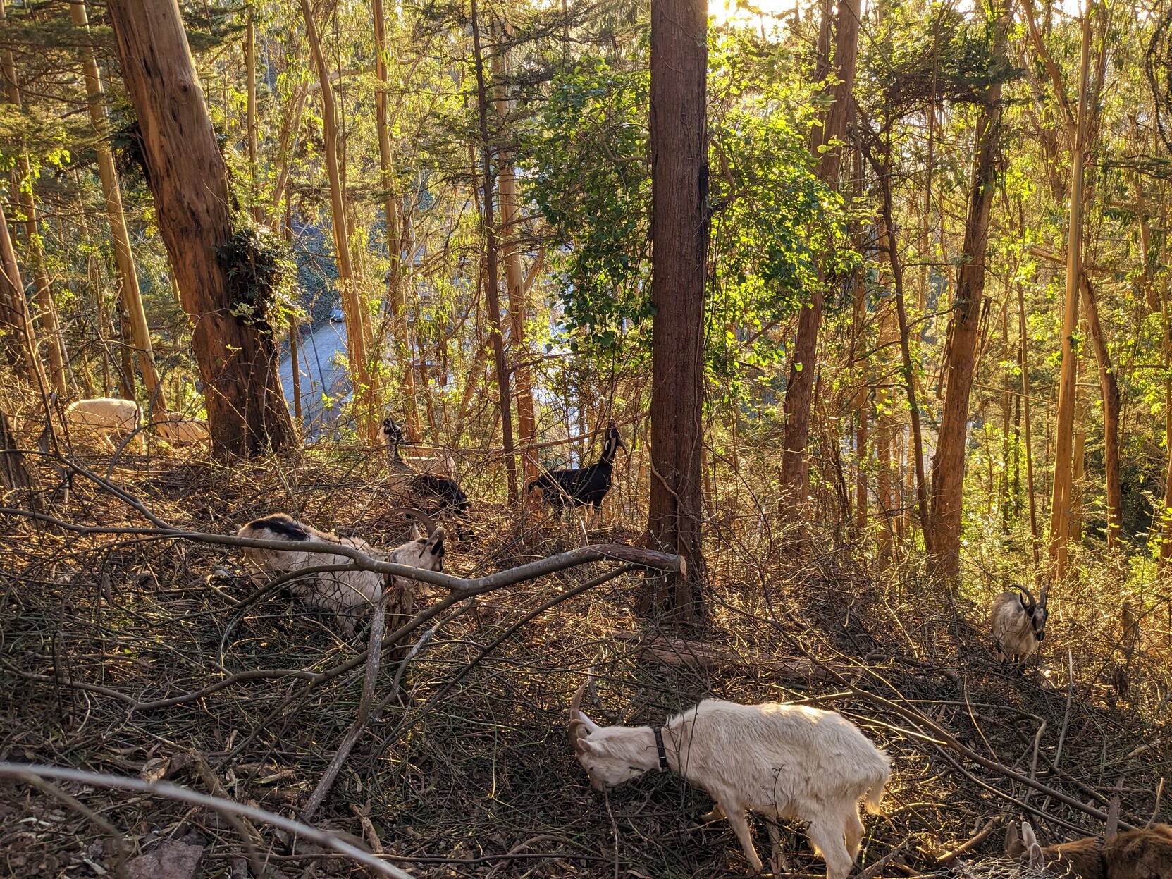
aditya 🌱 · @bambipotf
602 followers · 954 posts · Server sfba.socialAdam and I went to check out the goats on Mt Sutro. they're incredible, eating all the invasive ivy and blackberries
took a #bikehopper route from there to Scenic Routes, it worked great
#bikehopper #sanfrancisco #goats
Scott Feeney · @graue
60 followers · 1425 posts · Server social.coop
My project right now is #BikeHopper, an open-source directions app for transit+bikes.
https://github.com/bikehopper/bikehopper-ui
It uses #OpenStreetMap and a modified version of GraphHopper.
Two main benefits over other trip planning apps:
1. Bike-on-bus, bike-on-train etc. options
2. Tries really hard to find low-stress routes, avoiding main roads