Marcos Dione · @mdione
17 followers · 329 posts · Server en.osm.town@dcz property-wise, #cartocss is a thin layer on top of #mapnik XML:
https://github.com/mapnik/mapnik/wiki/XMLConfigReference
As for the operators, check:
https://github.com/mapnik/mapnik/wiki/Filter
Make sure you read the examples, because it has more types of expressions that are not defined elsewhere, I think.
Finally #OSM 's style has more examples, but it might be tedious to read them all:
· @dcz
292 followers · 1877 posts · Server fosstodon.org@nickbearman Working on a #QGIS plugin to style maps using #CartoCSS. Clicking through style dialogs gets annoying fast.
Pierre Huyghebaert · @crickxson
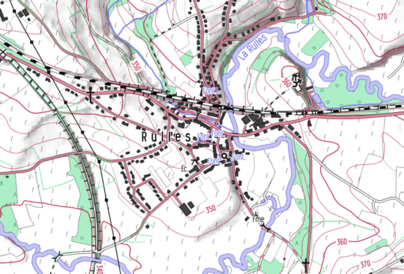
798 followers · 1876 posts · Server post.lurk.org"From 2019, the #cartographic style #OpenArdenneMap is updated every 6 months. OpenArdenneMap is a cartographic style for topographic maps based on #OSM data.OpenArdenneMap was originally developed as a cartographic style with the #imposm importer and a #cartoCSS style derived from #OSMBright. Later the #osm2pgsqlimporter was used instead of the imposm. From 2023, the OpenArdenneMap is also available in #QGIS"
#mapnik #cartography #belgium
https://www.nobohan.be/2023/03/02/openardennemap-hiver-22-23/
#cartographic #OpenArdenneMap #osm #imposm #cartocss #osmbright #osm2pgsqlimporter #qgis #mapnik #cartography #belgium
· @dcz
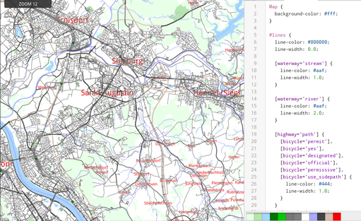
209 followers · 1180 posts · Server fosstodon.orgBefore I set out on the latest #cycling trip, I wanted to print a road map with more focus on peaceful ways, and less on busy highways.
My previous attempts usually failed, but this time I found TileMill.
https://tilemill-project.github.io/tilemill/
It's easy to install (in comparison to Mapnik) and it's designed for writing custom styles. In just an hour or two I went from zero to a useful style!
#cycling #openstreetmap #papermap #print #cartocss


