
Jan Kühn · @yotka
24 followers · 28 posts · Server vis.socialLarge version of the #choropleth map here: https://yotka.org/files/2023-08/eu-nuts-2-household-income-pps.png

Sebastian Lammers · @seblammers
485 followers · 854 posts · Server vis.social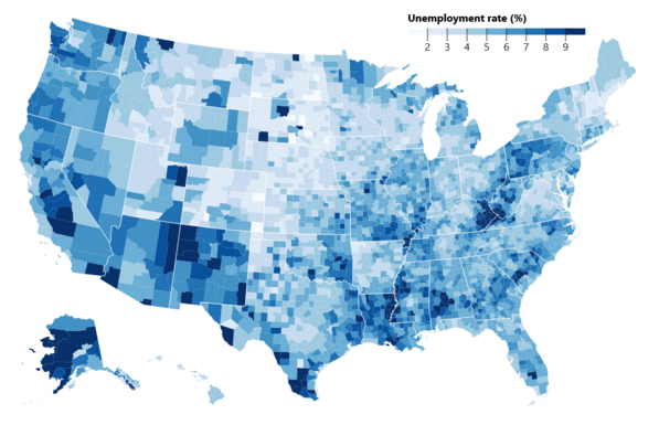
I just ported over this classic #choropleth map from pure #d3 to a #svelte version.
This time, I learned a lot while creating a custom legend component that is tucked right above the #map.
Play with the code here:
https://svelte.dev/repl/7d7c651eb5b746aab45fa9735bb09956?version=4.1.1

Aria :heart_trans: · @AriaGrace
24 followers · 70 posts · Server tech.lgbtI've spent too many hours over the last 2 weeks wrestling with ggplot2, maps, and I don't even remember what else working on a pretty straightforward mapping project. Then I saw a mention of choropleth, installed it, and made more progress in ~1 hour than in those last 2 weeks.
That feeling of relief, excitement, and annoyance at myself.
#r #ggplot2 #choropleth #dataviz #learning

SK53 · @SK53
23 followers · 13 posts · Server en.osm.town
A long time since I've done one of these: pubs mapped on OpenStreetMap in England & Wales by MSOA (statistical area). For comparison similar map from Jan 2011 (buckets the same).
#pubs #OpenStreetMap #choropleth #qualityassessment