
SK53 · @SK53
75 followers · 96 posts · Server en.osm.town
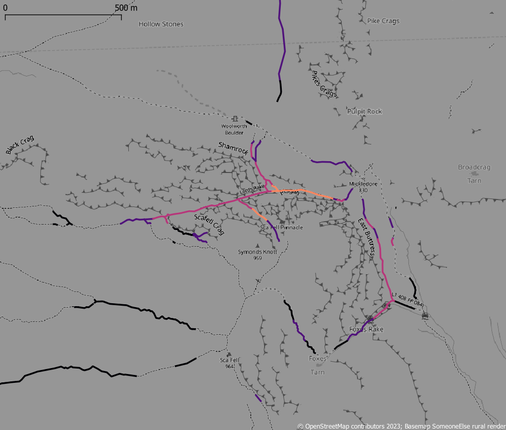
Playing around with slopes from #OrdnanceSurvey Open Terrain50 and paths from #OpenStreetMap in #QGIS and #PostGis with a view to reviewing ones which may lead to walkers getting #CragFast
#OrdnanceSurvey #OpenStreetMap #qgis #postgis #cragfast
Last updated 3 years ago