GregCocks · @GregCocks
68 followers · 85 posts · Server techhub.socialSatellite-Derived Bathymetry Online [shared paper]
--
https://ihr.iho.int/articles/satellite-derived-bathymetry-online-validation-study-upscaling-sdb-sdb-potential/ <-- 2022 shared paper
--
https://doi.org/10.3133/sir20185024 <-- 2019 USGS report on the technologies
--
#GIS #spatial #mapping #satellitederivedbathymetry #SDB #validation #coastalmapping #hydrospatial #bathymetry #satellite #remotesensing #elevation #global #survey #EarthObservation #bathymetric #coastal #global #marine #ocean #nearshore #nautical #Seabed2030 #EMODnet #accuracy #precision #vertical #4S #water #hydrology #clarity #nearshore #cloud #programming
#gis #spatial #mapping #satellitederivedbathymetry #sdb #validation #coastalmapping #hydrospatial #bathymetry #satellite #remotesensing #elevation #global #survey #earthobservation #bathymetric #coastal #marine #ocean #nearshore #nautical #seabed2030 #emodnet #accuracy #precision #vertical #4s #water #hydrology #clarity #cloud #programming
GOPA Com. · @GOPACom
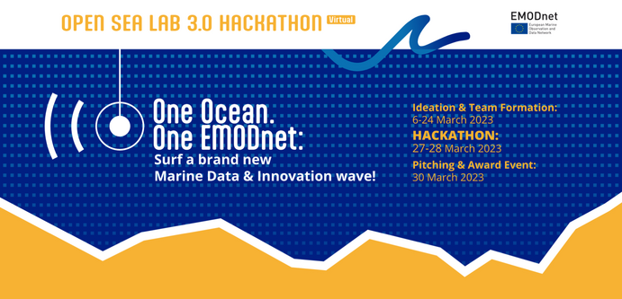
6 followers · 8 posts · Server mastodon-belgium.be#OpenSeaLab 3.0 is open for registrations NOW!
#OSL3 invites participants from various and diverse backgrounds to use #EMODnet marine data and other available resources to develop innovative solutions.
Are you up to the challenge that most interests you?
Register now ☞ https://opensealab.eu/

