
GregCocks · @GregCocks
293 followers · 384 posts · Server techhub.social
Rampant Groundwater Pumping Has Changed the Tilt of Earth’s Axis
--
https://www.scientificamerican.com/article/rampant-groundwater-pumping-has-changed-the-tilt-of-earths-axis/ <-- shared technical article
--
https://doi.org/10.1029/2023GL103509 <-- shared paper
--
“ • Earth's pole has drifted toward 64.16°E at a speed of 4.36 cm/yr during 1993–2010 due to groundwater depletion and resulting sea level rise
• Including groundwater depletion effects, the estimated drift of Earth's rotational pole agrees remarkably well with observations…”
--
#GIS #spatial #mapping #geodetic #geodesy #earth #water #research #earthaxis #axis #pole #gravity #remotesensing #groundwater #pumping #global #waterresources #watersecurity #watersupply #sealevelrise #subsidence #earthobservation #aquifer
#gis #spatial #mapping #geodetic #Geodesy #earth #water #research #earthaxis #axis #pole #gravity #remotesensing #groundwater #pumping #global #waterresources #watersecurity #watersupply #sealevelrise #subsidence #earthobservation #aquifer
GregCocks · @GregCocks
198 followers · 251 posts · Server techhub.social
Hidden Vulnerability Of US Atlantic Coast To Sea-Level Rise Due To Vertical Land Motion
--
https://doi.org/10.1038/s41467-023-37853-7 <-- shared paper
--
#GIS #spatial #mapping #climatechange #sealevelrise #SLR #data #AtlanticCoast #risk #hazard #elevation #subsidence #rates #land #remotesensing #geodesy #geodetic #satellite #coast #coastal #landcover #vulnerability #marshes #coastalmarshes #wetlands #environmental #risk #hazard #vulnerability #vulnerabilitymanagement #mitigation #spatialanalysis #spatiotemporal #model #modeling #vertical #land #motion
#gis #spatial #mapping #climatechange #sealevelrise #slr #data #atlanticcoast #risk #hazard #elevation #subsidence #rates #land #remotesensing #Geodesy #geodetic #satellite #coast #coastal #landcover #vulnerability #marshes #coastalmarshes #wetlands #environmental #vulnerabilitymanagement #mitigation #spatialanalysis #spatiotemporal #model #modeling #vertical #motion

Matthew Dockrey · @attoparsec
296 followers · 398 posts · Server clacks.link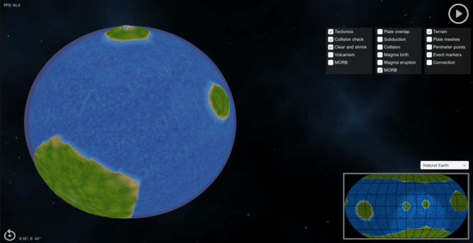
Orogeny update: Experimenting with adding some lat/long grids to the inset map. I like how it emphasizes the properties of the different projections, but I'm not sure it's worth it.
But time for bed now.
#cartography #geodetic #tectonics #gamedev

Roelof Rietbroek · @roelof
314 followers · 117 posts · Server fediscience.orgRT @Earthworksjobs@twitter.com
Head of SLR Station Potsdam (f_m_x) - Potsdam, Germany - https://www.earthworks-jobs.com/jobs/gfz22116 - #jobs #physics #aerospace #engineering #space #geodesy #geodetic #SLRstations #satellite #solidstatelaser #programming
#programming #solidstatelaser #satellite #slrstations #geodetic #geodesy #space #engineering #aerospace #physics #jobs

Khurram Wadee ✅ · @mkwadee
986 followers · 10873 posts · Server mastodon.org.ukA post got me thinking of this and I’d read that the longest possible unbroken #geodetic sea-going trip was from #Pakistan to #Siberia and probably not in the way you’d perhaps think.
https://www.cntraveler.com/stories/2014-04-07/twenty-thousand-mile-great-circle-sail-maphead