Sean Jarrett · @jarrettinho
3 followers · 18 posts · Server mapstodon.spaceThis blog captures what went on at #gi_salzburg23 where I presented on the application of #sar #remotesensing #changedetection for #spatial evaluation of a #naturalfloodmanagement installation. A key theme was how #gis #geoinformatics can support #naturebasedsolutions
#gi_salzburg23 #sar #remotesensing #changedetection #spatial #naturalfloodmanagement #GIS #geoinformatics #naturebasedsolutions

UNIGIS Salzburg · @unigis_salzburg
23 followers · 24 posts · Server fosstodon.org
Reminder for the @unigis_salzburg info-webinar - on Wednesday, Aug 16! We answer your questions about the #UNIGIS #distancelearning programmes.
> Next intake: 01 Oct 2023 (apply until 01 Sept)
🖱️ Register for the webinar:
https://attendee.gotowebinar.com/register/5540351564430553685?source=MastodonReminder
#unigis #distancelearning #gis #geoinformatics #studygis #gisstudy #geomatik #mapping
UNIGIS Salzburg · @unigis_salzburg
21 followers · 23 posts · Server fosstodon.org
Join the free @unigis_salzburg info-webinar, online. We inform you about our #distancelearning programs for #Geoinformatics 💻
Study fully online at the University of Salzburg. 🎓
Register now:
https://attendee.gotowebinar.com/register/5540351564430553685?source=Mastodon
#gis #gisstudy #giscertificate #onlinestudy #fernstudium #unisalzburg #geomatik #geoinformation #gisonlinestudy #unigis
#distancelearning #geoinformatics #gis #gisstudy #giscertificate #onlinestudy #Fernstudium #unisalzburg #geomatik #geoinformation #gisonlinestudy #unigis
UNIGIS Salzburg · @unigis_salzburg
21 followers · 22 posts · Server fosstodon.orgFinally, you can read up upon all
@unigis_salzburg highlights at this year's #GI_Salzburg #conference in the blog post below. It was a blast and we cannot wait to see you there next year! 😃
#gi_salzburg #conference #geoinformatics #gisblog #unigis #throwback
Jeff Konnen · @jaykayone
184 followers · 375 posts · Server mapstodon.spaceHas anyone of you ever plotted a GPS Obstruction plot (360 degrees on x axis, 90 degrees on y axis, line showing the "horizon" from a given point) using gis tools (arcgis, qgis, fme) maybe matlab or python with a raster DTM or DSM as input?
Are there OOTB tools that can be used for this?
#gischat #geoinformatics #geospatial
UNIGIS Salzburg · @unigis_salzburg
18 followers · 17 posts · Server fosstodon.orgRead the full article on Prof. Strobl, who - as you know - is not only one of the founding members of #UNIGIS, but also former Head of @unigis_salzburg. 😉
#geoinformatics #gishero #gisarticle #josefstrobl #curiosity #mapping #cartography
https://www.esri.com/about/newsroom/arcnews/professor-cultivates-a-framework-for-exploration/
#unigis #geoinformatics #gishero #gisarticle #josefstrobl #curiosity #mapping #cartography

HeiGIT · @heigit
94 followers · 82 posts · Server mapstodon.space📢 Passionate about #SpatialDataScience and #ClimateAction? 🌍 Join our new project team as our Community Engagement, Outreach & Partnership Manager! Help citizens & decision makers to take action against the #ClimateCrisis 🌡️ #Geoinformatics
👉Apply now: https://tinyurl.com/heicomm
#SpatialDataScience #climateaction #ClimateCrisis #geoinformatics
UNIGIS Salzburg · @unigis_salzburg
18 followers · 15 posts · Server fosstodon.org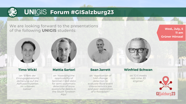
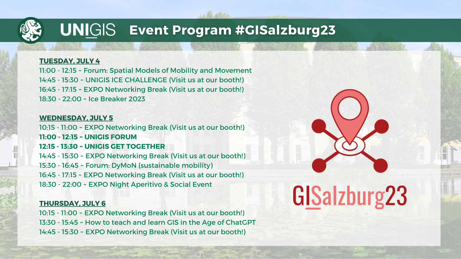
We invite all participants of the #GISalzburg23 and especially the UNIGIS Salzburg students and alumni to today's UNIGIS Forum, starting at 11 am.
#GISalzburg23 #geoinformatics #geoinformatik #gis #konferenz #unisalzburg
UNIGIS Salzburg · @unigis_salzburg
18 followers · 14 posts · Server fosstodon.org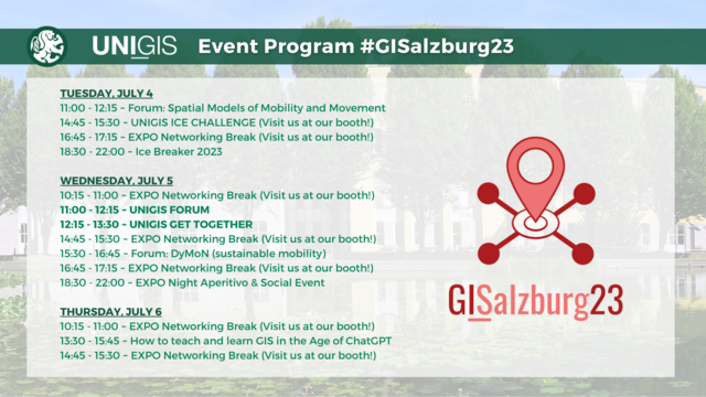
It's #GISalzburg23 time again! We are looking forward to seeing many of our students at this year's #geoinformatics conference at the University of Salzburg, hosted by the Department of Geoinformatics.
We invite all participants to visit us at our booth or in the sessions. You can find the UNIGIS related program slots below.
#geoinformatics #gis #spatialdata #datascience #conference #expo #unisalzburg
#GISalzburg23 #geoinformatics #gis #spatialdata #datascience #conference #expo #unisalzburg
UNIGIS Salzburg · @unigis_salzburg
15 followers · 12 posts · Server fosstodon.org
Reminder: on Friday, June, 23rd, the registration for the upcoming start of the German(!) speaking online study program for Geoinformatics - UNIGIS professional - ends. The online program starts with June, 30th. 🌞
You can find more info on the program (60 ECTS) and the registration on our website: https://unigis.at/unigis-professional/
#geoinformatik #geoinformatics #gis #spatialanalysis #geodatabases #cartography #applicationdevelopment #geodata #spatialdata #onlinestudy #universityofsalzburg
#geoinformatik #geoinformatics #gis #spatialAnalysis #geodatabases #cartography #applicationdevelopment #geodata #spatialdata #onlinestudy #universityofsalzburg
52°North · @52North
14 followers · 39 posts · Server fosstodon.org
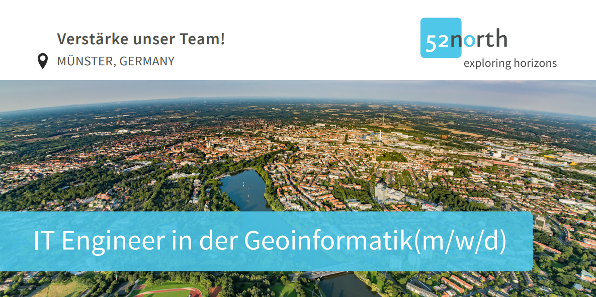
Do you enjoy working with IT systems and IT infrastructures? We are hiring - IT Engineer in Geoinformatics (m/f/d)
Join our team!
#it #engineer #geoinformatics #opensource

Tuomas Väisänen 📼🧟♂️ · @waeiski
530 followers · 714 posts · Server vis.social
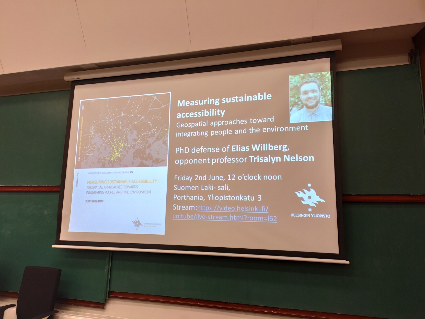
Soon my colleague Elias Willberg is defending his PhD thesis "Measuring Sustainable Accessibility: Geospatial approaches toward integrating people and environment" soon in Porthania. His opponent is professor Trisalyn Nelson from University of California Santa Barbara. If you are into #accessibility #mobility #biking #geoinformatics #geospatial you can follow the defense from UniTube: https://video.helsinki.fi/unitube/live-stream.html?room=l62
#geospatial #geoinformatics #biking #mobility #accessibility

Anita Graser 🇪🇺🇺🇦 · @underdarkGIS
2191 followers · 1333 posts · Server fosstodon.org#gisjob with #German #RedCross
Are you currently a student of #geography #geoinformatics, or any other relevant course of study?
Have you organized #MissingMaps #Mapathon events or similar projects?
Are you skilled in using #QGIS for #GIS analyses, maps, and product…
https://karriere-beim-drk.de/jobposting/245e078be1eddc47d2fe453f4c221739bcf440920
Source: https://twitter.com/hussamsaeid/status/1662333304794750976
#gisjob #german #redcross #geography #geoinformatics #missingmaps #mapathon #qgis #gis #gischat #jobs
UNIGIS Salzburg · @unigis_salzburg
9 followers · 6 posts · Server fosstodon.org
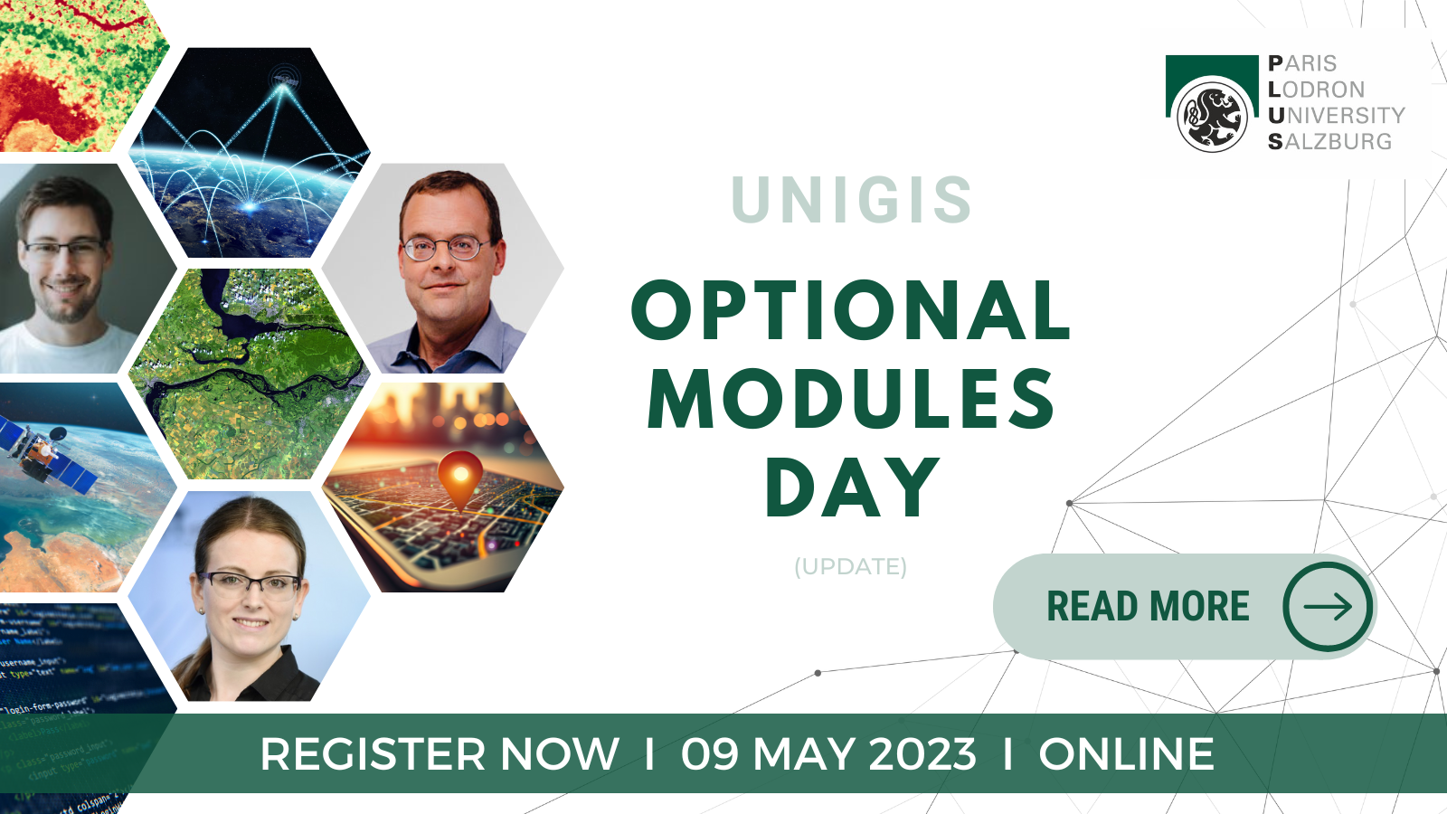
How can the #UNIGIS Optional Modules help you create your own specialisation within your #geoinformatics studies? Martin Loidl @gicycle answers this question in our latest blog post. 💻
You want to learn more? Join the Optional Modules Day on May, 9th, and meet the lecturers, among them @underdarkGIS :
https://unigis.at/en/the-unigis-optional-modules-design-your-studies-according-to-your-interests/
#unigis #geoinformatics #geoinformation #gistraining #gis #qgis
HeiGIT · @heigit
15 followers · 23 posts · Server mapstodon.space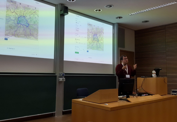
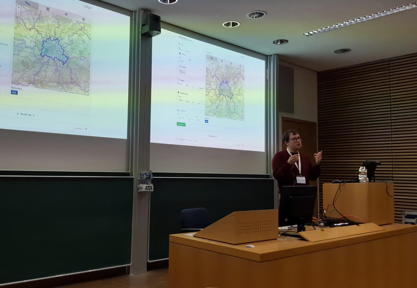
HeiGIT's Benjamin Herfort reported to us from a "very full" FOSSGIS in Berlin, where he presented a demo session on utilizing the Ohsome Quality analysT (OQT) API with Python.
🐍 Demo workshop details:
https://giscienceblog.uni-heidelberg.de/2023/03/15/heigit-to-hold-hands-on-workshop-about-osm-data-quality-at-fossgis-berlin-15-18-03-2023/
🔍 More information on OQT:
https://heigit.org/introducing-the-ohsome-quality-analyst-oqt/
🖥️ Repository available:
https://github.com/GIScience/oqt-examples/tree/fossgis-2023
#geography #research #conference #Berlin #Geoinformatics #geospatial #python #git #gis
#geography #research #conference #Berlin #geoinformatics #geospatial #python #git #GIS
Tuomas Väisänen 📼🧟♂️ · @waeiski
474 followers · 478 posts · Server vis.socialI enjoy learning and teaching about spatial statistics. Like unhealthy-level enjoy. It comes up once a year on one of our #geoinformatics courses and I always realize something new and exciting when I am updating the slides. Tomorrow's lecture is gonna be lit!
What's your favorite resource for brushing up on #SpatialStatistics or #SpatialEconometrics? I like https://geographicdata.science/, but was wondering what else is out there. I know @rsfrankl got a nice new book digging into this as well...
#spatialeconometrics #SpatialStatistics #geoinformatics
HeiGIT · @heigit
6 followers · 7 posts · Server mapstodon.spaceJob Opening:🖥️Deep Learning Engineer
German or English possible!
Help create AI products for smart #mobility, #humanitarian aid, #disaster management & other #geospatial applications to support #sustainability & #climate action.
Full job description:
https://heigit.org/job-offer-deep-learning-engineer-m-f-d-up-to-100/
#TensorFlow #Pytorch #Python #coding #techjobs #TechTwitter #JobAlert #Geoinformatics #Geography #Mathematics #Physics #AI #ArtificialIntelligence #Engineering #engineer
#mobility #humanitarian #disaster #geospatial #sustainability #Climate #tensorflow #pytorch #python #Coding #techjobs #techtwitter #jobalert #geoinformatics #geography #mathematics #physics #ai #artificialintelligence #engineering #engineer

UNIGIS Salzburg · @unigis_salzburg
5 followers · 3 posts · Server fosstodon.org
The countdown has started! Study #geoinformatics with #UNIGIS and become a geospatial professional. We offer different modules, covering key aspects of #geoinformation to prepare you for a successful #gis-career 👍 🎓
#R #QGIS #OpenData #applicationdevelopment #spatialsimulation #dbms #leaflet #js #python #mapping #map #onlinestudy #gis #onlinelearning #opengis
#geoinformatics #unigis #geoinformation #gis #r #qgis #opendata #applicationdevelopment #spatialsimulation #dbms #leaflet #js #python #mapping #map #onlinestudy #onlinelearning #opengis
UNIGIS Salzburg · @unigis_salzburg
2 followers · 2 posts · Server fosstodon.org
You want to study #geoinformatics online? 🎓 We have summarised the 5 steps you need to follow to start your geoinformatics-career with #UNIGIS! 💻📥
🔗 https://unigis.at/en/
💡 Note:
🇦🇹 German study program: You can apply until 27 Jan 2023 for the UNIGIS Professional (start: 27 Jan 2023) and until 15 Feb 2023 for the Master of Science (start: 23 Feb 2023).
#distancelearning #onlinestudy #geoinformation #gismaster #gisstudies #universityofsalzburg #zgis #qgis
#geoinformatics #unigis #distancelearning #onlinestudy #geoinformation #gismaster #gisstudies #universityofsalzburg #zgis #qgis

MARVIN MC CUTCHAN · @marvin
5 followers · 1 posts · Server mastodon.wienWorking with #datascience , #machinelerning and #geospatial #remotesensing data. Also research on #GeoAI and #deepneuralnetworks designs. I understand #gis #geoinformatics . You can check me out on Google scholar and LinkedIn.
Happy to make new friends here. Also, love #techno.
#datascience #machinelerning #geospatial #remotesensing #geoai #deepneuralnetworks #gis #geoinformatics #techno