
Joseph Elfelt · @mappingsupport
541 followers · 482 posts · Server m.ai6yr.org
1/3 Got 3D?
#GoogleEarthPro is free software that simulates 3D. It can be installed on PC/Mac/Linux. In addition to the screen controls you can rightclick-hold and slowly move your pointing device.
Here are example #GIS KMZ files for Ventura County, CA.
Trails and roads. Transparent background.
https://mappingsupport.com/p2/kmz_demo/ventura_county_all.kmz 21MB
Trails and roads. Scanned USGS topos.
https://mappingsupport.com/p2/kmz_demo/ventura_county_all_topo.kmz 37MB
#googleearthpro #gis #georeference #georeferencing #geospatial #maps #mapping

Morgan Fletcher :vbike: · @morgan
494 followers · 2429 posts · Server sfba.social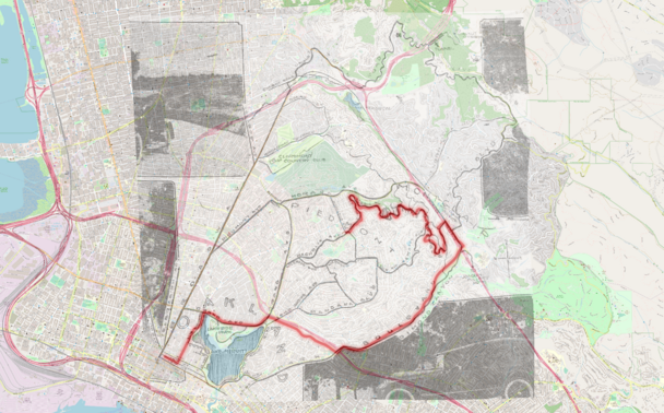
The early 20th century meant the #development of #Oakland for #cars and for #HomeBuilding. The #bicycle was mostly forgotten, except as a toy or a piece of sports equipment, and #neighborhoods were laid out and #developed privately, by for-profit corporations rather than a civic body meant to benefit the citizens of Oakland. #PublicTransit was deprecated, except as a vehicle for #RealEstate sales. #AutoRow, on Broadway, and the car plants were churning out cars, and #debt to the people of Oakland, and the #newspaper was a marketing organ for these industries... This is all described really well in #MitchellSchwarzer 's book #HellaTown, which I recommend. I like old #maps, knowing how #roads came to be, and I've always been curious about the term "Little Skyline," which shows up in articles from this time. This article explains the route, and tells the story...
https://fastestslowguy.blogspot.com/2023/07/new-roads-open-routes-for-autoists.html
#development #oakland #cars #homebuilding #bicycle #neighborhoods #developed #publictransit #realestate #autorow #Debt #newspaper #mitchellschwarzer #hellatown #maps #roads #georeference #openstreetmaps #history #Piedmont