Josh Carlson :qgis: · @jcarlson
312 followers · 578 posts · Server mapstodon.spaceTomorrow, I will be presenting at the #ILGISA Chicago Regional Meeting!
My goal is to completely overwhelm a bunch of public sector :arcgis: customers with FOSS stuff. I asked for an hour, but we'll see if I can fit it into the 30 minutes they gave me...
I will be talking about how to use things like #osmium, #osm2pgsql, #imposm, #postgis :postgis: , #qgis :qgis: , and #OpenStreetMap together to make really nice things.
#ilgisa #osmium #osm2pgsql #imposm #postgis #qgis #OpenStreetMap
Pierre Huyghebaert · @crickxson
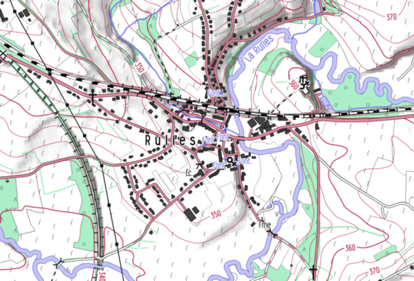
798 followers · 1876 posts · Server post.lurk.org"From 2019, the #cartographic style #OpenArdenneMap is updated every 6 months. OpenArdenneMap is a cartographic style for topographic maps based on #OSM data.OpenArdenneMap was originally developed as a cartographic style with the #imposm importer and a #cartoCSS style derived from #OSMBright. Later the #osm2pgsqlimporter was used instead of the imposm. From 2023, the OpenArdenneMap is also available in #QGIS"
#mapnik #cartography #belgium
https://www.nobohan.be/2023/03/02/openardennemap-hiver-22-23/
#cartographic #OpenArdenneMap #osm #imposm #cartocss #osmbright #osm2pgsqlimporter #qgis #mapnik #cartography #belgium
Josh Carlson · @jcarlson
275 followers · 431 posts · Server mapstodon.space@douggreenfield I wondered: what does IL look like in this style? Thanks to #imposm, #geofabrik, and #OpenStreetMap it took like 3 minutes to find out.
#imposm #geofabrik #OpenStreetMap

