
Joseph Elfelt · @mappingsupport
507 followers · 437 posts · Server m.ai6yr.org
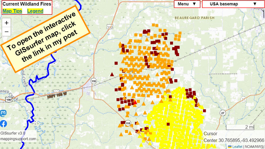
Interactive #GIS map for #TigerIslandFire in SW part of #Louisiana. Town of #Merryville just west of the fire has been evacuated.
Dark red symbols are *heat* detections by MODIS and VIIRS satellites within prior 6 hours. This data is not real time, locations are approximate and sometimes ‘false positive”. Two links in upper left corner have more info.
#LAwx #LAfire #WildlandFire #Geospatial #Maps #Mapping #Leaflet #ArcGIS #WebMap
Open #GISsurfer map:
https://mappingsupport.com/p2/gissurfer.php?center=30.765895,-93.492966&zoom=12&basemap=USA_basemap&overlay=VIIRS_7_day,MODIS_7_day,State_boundary,USA_roads&data=https://mappingsupport.com/p2/special_maps/disaster/USA_wildland_fire.txt
#gis #tigerislandfire #louisiana #merryville #lawx #lafire #wildlandfire #geospatial #maps #mapping #leaflet #arcgis #webmap #gissurfer

Stacey Campbell · @stacey_campbell
275 followers · 1284 posts · Server aus.socialBrush fire burning just south of the neighborhood. Numerous ground, helicopter, and fixed wing tankers dropping water on it.
Stacey Campbell · @stacey_campbell
260 followers · 1167 posts · Server aus.social
@cafirescannerbot Here's what the helicopter ADS-B squitters look like from my house in Woodland Hills. #lafire
FreddyB Aviation Photography · @cvvhrn
1191 followers · 2401 posts · Server sfba.social
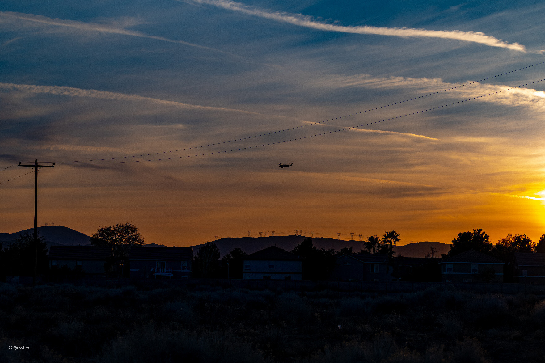
Goodnight all today's sunset is from 2021. A Los Angeles County Fire Department Sikorsky S70i Firehawk flies over the city of Palmdale, California #rotor #chopper #helicopter #Sun #sunset #sunsets #goodnight #LAFire #Firehawk #firefighting #fire #wildfire #rescue
#rotor #chopper #helicopter #sun #sunset #Sunsets #goodnight #lafire #firehawk #firefighting #fire #wildfire #rescue
FreddyB Aviation Photography · @cvvhrn
620 followers · 1074 posts · Server sfba.social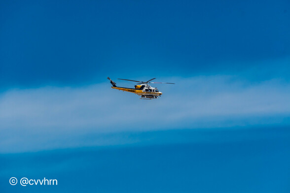
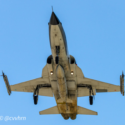
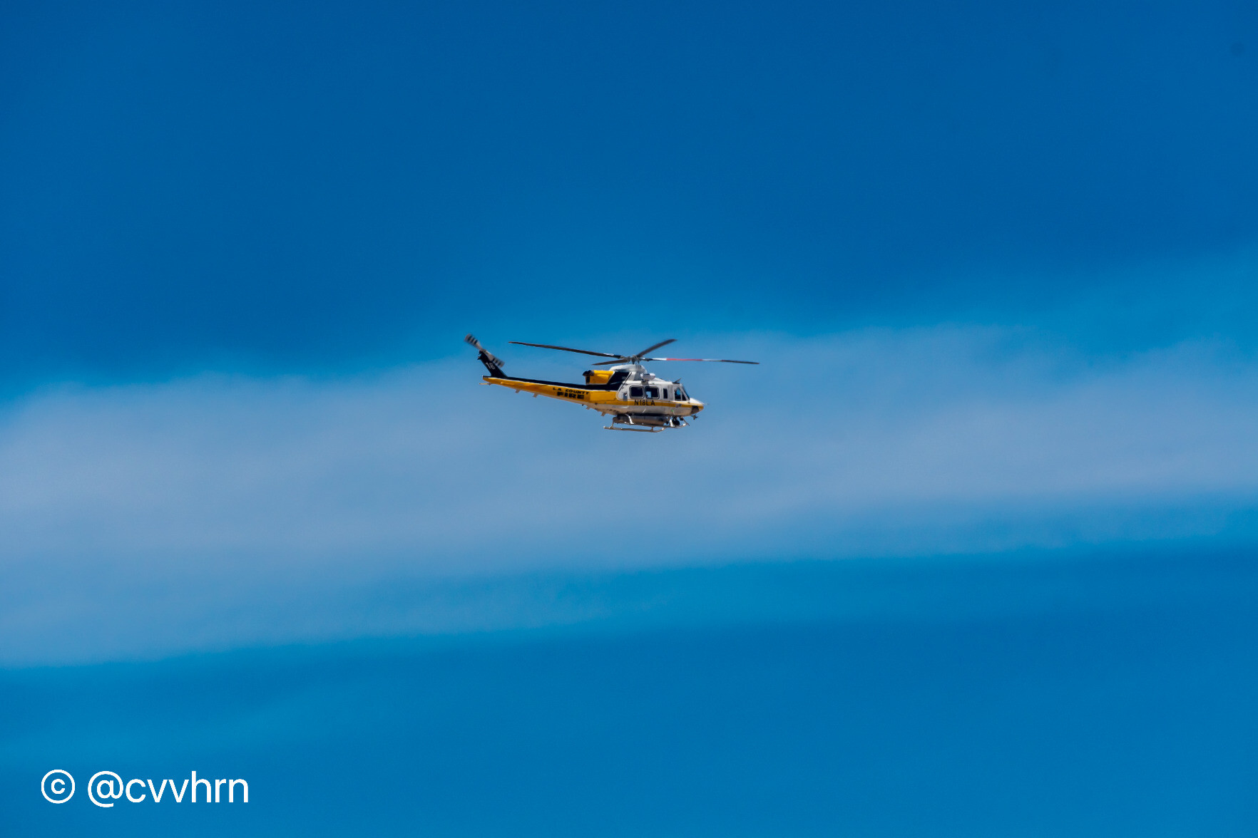
Los Angeles Fire Bell 412 fire fighting chopper over Palmdale, California, July 2018 #rotor #chopper #helicopter #LAFire #Fire #wildfire #firefighting #aviationphotography #planespotting #haveglass #aviation #AvGeek #spotter
#aviationdaily #photography #aircraft #Nikon #Z9 #AvgeeksofMastodon
#rotor #chopper #helicopter #lafire #fire #wildfire #firefighting #aviationphotography #planespotting #haveglass #aviation #avgeek #spotter #aviationdaily #photography #aircraft #nikon #Z9 #AvgeeksofMastodon

Bradley · @bradley
39 followers · 972 posts · Server social.coopRT @KateOHareWrites@twitter.com: I went up Kanan Dume today to see the aftermath of the #WoolseyFire ... and this is just a sliver of the true devastation. #lafire #MalibuFire
🐦🔗: https://twitter.com/KateOHareWrites/status/1066902813718892545
#woolseyfire #lafire #malibufire