
Rony Nedkov · @rony
23 followers · 17 posts · Server mapstodon.spaceThe VectorTile scene in #webgis is a mess. A standard is lacking, on so much levels.
I'm working on implementing support for VectorTiles in https://mapstyler.com. It's though. I find myself jumping through all kind of burning hoops and crashing into errors and undefineds.
Answers on stackoverflow include "[..] there is no way to know."
I scoped #mapstyler down to first supporting OGC Tiles API. From there we will see!
Expect a working update soon. I will need testers!

Rony Nedkov · @RonyNedkov
4 followers · 7 posts · Server indiehackers.social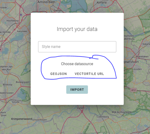
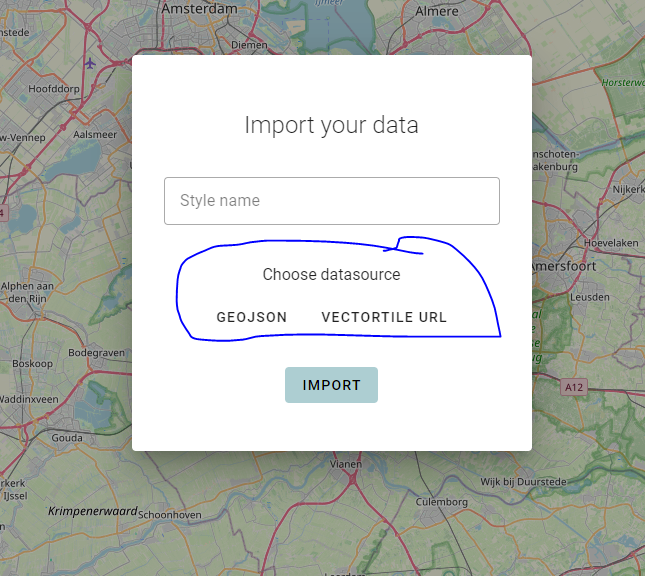
Adding an option to #mapstyler for choosing a new data type: vectortile URL.
It appears to be more complex than I thought.
Functionalities such as loading data from the source and extracting geometry type of the data, are done differently for each data source. This can potentially introduce a lot of spaghetti. Which is fine on my plate, but not in my code 🍝
This is where design patterns come into play. I decided to implement the strategy design pattern to simplify my code in the frontend.