Sven Geggus · @giggls
319 followers · 2344 posts · Server karlsruhe-social.deWarum sagt mir eigentlich niemand dass Teile der #OpenCampingMap im mobilen Browser kaputt aussehen? Das war offensichtlich schon seit Dezember so. Ist jetzt jedenfalls repariert.
Sven Geggus · @giggls
309 followers · 2221 posts · Server karlsruhe-social.de#Transifex #Poeditor #Weblate Was nimmt man denn wenn das Ziel der Übersetzung sowohl HTML Versatzstücke als auch UI-Elemente sind? Ich möchte #OpenCampingMap auf so ein System umstellen und bräuchte da mal eine Empfehlung. Bei #Openstreetmap ist das Bild uneinheitlich. Anscheinend kommen in verschiedenen Projekten alle drei Werkzeuge zum Einsatz.
#transifex #poeditor #weblate #opencampingmap #openstreetmap
Sven Geggus · @giggls
278 followers · 1802 posts · Server karlsruhe-social.de@phpmacher Ursprünglich sollte #OpenCampingMap mal ein umap Dienst werden. Nur war mir das UI dann doch zu unflexibel und ich hab selbst was gebaut obwohl ich kein großer UI Entwickler bin. Man kann aus dem backend json-daten ziehen, die manauch in umap einbinden können sollte. Beispiel: https://opencampingmap.org/getcampsites?bbox=-1.38,44.47,-0.95,44.8
Sven Geggus · @giggls
273 followers · 1648 posts · Server karlsruhe-social.deA question to native English speakers and #openstreetmap contributors in my timeline.
I intend to invent a tag amenity=sink (and sink=yes in amenity=kitchen) to be used in #OpenCampingMap. Is this comprehensible or should this better be amenity=kitchen_sink.
#openstreetmap #opencampingmap
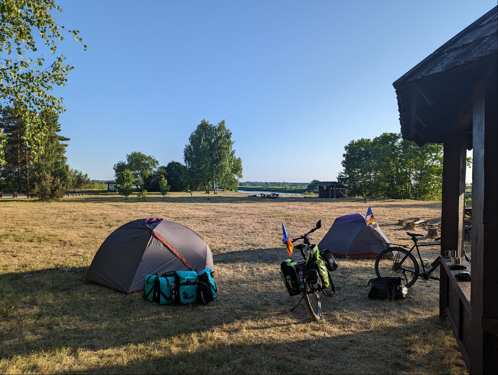
Sven Geggus · @giggls
265 followers · 1521 posts · Server karlsruhe-social.de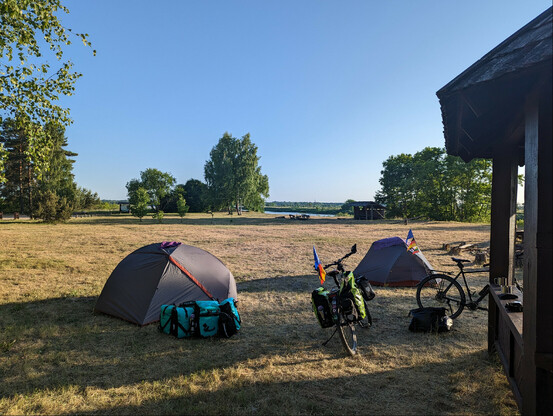
Grillplatz am Rande der Memel. Zelten erlaubt. Bei #openstreetmap bereits erfasst. Erfassung als Backcountry-Campsite für #OpenCampingMap folgt.
#openstreetmap #opencampingmap
Sven Geggus · @giggls
262 followers · 1419 posts · Server karlsruhe-social.de
@mjaschen @rolf Den GeoJSON-support gibt es AFAIk schon sehr lange. Ich nehme bei #OpenCampingMap eine erweiterung, die nach Bewegung der Karte die Daten neu lädt. Die ist auch schon alt:
https://github.com/BenjaminVadant/leaflet-ugeojson
Sven Geggus · @giggls
256 followers · 1302 posts · Server karlsruhe-social.deWelches Tool kann denn diese #Mapsforge POI-Dateien erzeugen? #QMapshack kann anscheinend nur diese anzeigen. Ausgangsformat wäre beispielsweise GeoJSON aus #OpenCampingMap
#mapsforge #qmapshack #opencampingmap
Sven Geggus · @giggls
239 followers · 1122 posts · Server karlsruhe-social.de
@phpmacher Ich versuche die Daten aus der #OpenCampingMap für #offline use zur Verfügung zu stellen. Als #Garmin #POI-files ist mir das jetzt gelungen. Ich hätte aber gerne noch eine Option die Daten auch für die Nutzung in #OSMAnd aufzubereiten.
https://github.com/giggls/ocm4garmin
#opencampingmap #offline #garmin #poi #osmand
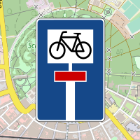
Sven Geggus · @giggls
238 followers · 1093 posts · Server karlsruhe-social.de
#Garmin Version of #OpenCampingMap already looks fine, but I am kind of stuck regarding support for #OSMAnd #Openstreetmap
#garmin #opencampingmap #osmand #openstreetmap
Sven Geggus · @giggls
238 followers · 1093 posts · Server karlsruhe-social.de@bart I did not think that adding a custom POI overlay is all that special. It's a shame that this does not seem to be an easy task in #OSMAnd. I did not know Organic Maps but I need to check if adding a custom overlay ist possible there. I currently use GeoJSON Data in #OpenCampingMap which should be easy enough to convert to something else.
Sven Geggus · @giggls
238 followers · 1093 posts · Server karlsruhe-social.de@bart Because my own App is not what I want. I want to enrich an existing app (which is already useful on its own right) with the preprocessed POI data from #OpenCampingMap.
Sven Geggus · @giggls
237 followers · 1090 posts · Server karlsruhe-social.deI am currently looking into converting data from #OpenCampingMap for offline use.
I already succeeded in producing #Garmin #POI files (no fancy icons, but still usable).
I would also like to produce something for #OSMAnd but did not really find an instruction on how this could be done. #openstreetmap
#opencampingmap #garmin #poi #osmand #openstreetmap