
Will Deakin · @wnd
47 followers · 184 posts · Server fosstodon.org
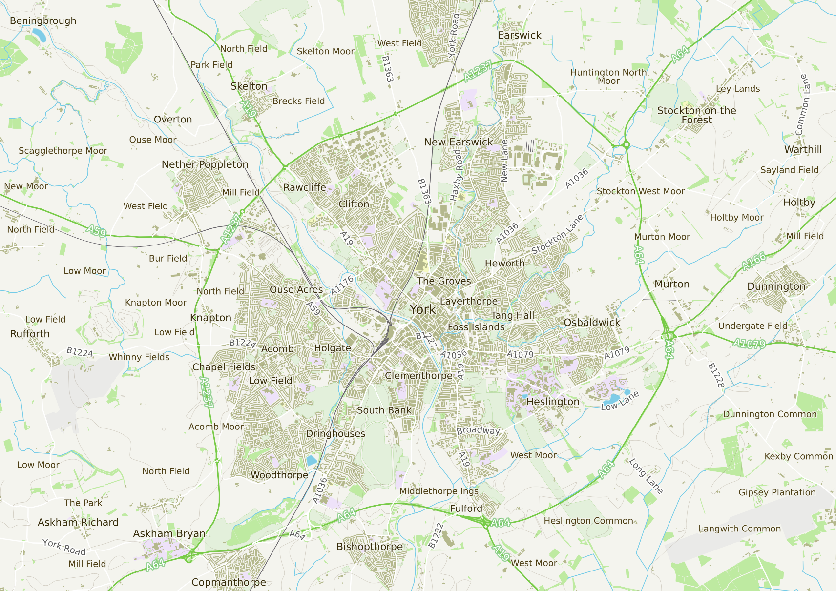
For those who are interested in such things, I downloaded the Ordnance Survey Zoomstack data which (I think) is under the #OpenGovernmentLicense, wrote some #python #GeoPandas to cut out 10x10km (100km²) squares centred on the railway stations at York and Sheffield, and had a play with some of the OS #QGIS style sheets from here: https://github.com/OrdnanceSurvey/OS-Open-Zoomstack-Stylesheets
I thinks it's a touch Visage (as in "Fades to Grey") but it's not too bad for a few hours to pull these #DataVisualisation examples
#opengovernmentlicense #python #Geopandas #qgis #datavisualisation