TrailStash · @trailstash
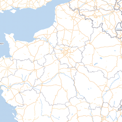
29 followers · 15 posts · Server mapstodon.spaceA quick rundown of how I did this for those interested. I created a new blank style in Maputnik, added: grey background, strava heatmap, and a semitransparent black line layer containing all the features from the transportation layer from #OpenMapTiles.
Marcus Jaschen · @mjaschen
574 followers · 320 posts · Server digitalcourage.socialDer Wochenrückblick ist da: Kalenderwoche 2023-33. Heute mit #BikeRouter und dem #GravelOverlay, #OpenMapTiles und #Planetiler, #Knoten, #Osmium, #TailwindCSS, #Photovoltaik, #Bohrhammer, #LinkAce von @Kovah, #Techno und #Barbie. Und auch wieder ein Absatz #Meta.
#meta #barbie #techno #linkace #Bohrhammer #photovoltaik #tailwindcss #osmium #knoten #planetiler #openmaptiles #graveloverlay #bikerouter
MapComplete · @MapComplete
1030 followers · 159 posts · Server en.osm.town@thibaultmol @amapanda @giggls Tiles are provided by #MapTiler, not #OpenMapTiles
Matt "msw" Wilson · @msw
2479 followers · 1151 posts · Server mstdn.social"The OpenMapTiles project is a set of scripts and tools that download data from OSM and NaturalEarth, load the parts you care about into a database and generate tilesets. It also has the most bonkers Makefile I have ever seen."
Hold my beer. 🍺
#FreeSoftware #OpenSource #FOSS #OpenStreetMaps #OSM #OpenMapTiles
https://www.kschaul.com/post/2023/02/16/how-the-post-is-replacing-mapbox-with-open-source-solutions/
#openmaptiles #OSM #openstreetmaps #FOSS #OpenSource #FreeSoftware
MoteurDeRecherche ClubDeFrance · @mdrcdf
1 followers · 10 posts · Server toot.aquilenet.frQwant Maps propose désormais des itinéraires en transports en commun
Sept. 2022: BRÈVE // #Qwant annonce aujourd'hui une nouvelle fonctionnalité intéressante pour son outil de #cartographie #QwantMaps . Les utilisateurs peuvent désormais accéder au réseau de #transportsencommun dans de nombreuses grandes villes.
#rgpd #openstreetmap #openmaptiles #openmap #moteurderecherche
#moteurderecherche #openmap #openmaptiles #openstreetmap #rgpd #transportsencommun #qwantmaps #cartographie #qwant
💉 -karlos- 🗺 · @karlos
277 followers · 1102 posts · Server en.osm.townHi! #OpenMapTiles
Are there RustLang Crates to decode and render OpenMapTiles files?
May be this?: https://docs.rs/tile_sorcerer/latest/tile_sorcerer/
The whale · @thewhalecc
284 followers · 1736 posts · Server framapiaf.orgOpenMapTiles - Open-source maps made for self-hosting. https://openmaptiles.org/ #Internet #Map #Tiles #OpenSource #OpenMapTiles
#internet #map #tiles #opensource #openmaptiles
Raf · @Raf
298 followers · 5913 posts · Server mastodon.socialRT @MapTiler@twitter.com
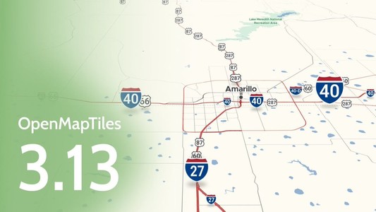
#OpenMapTiles version 3.13 has been released with improvements for showing routes on your maps. You can highlight toll roads, use multiple labels for highways, mark out private roads with no access, and much more. Check out what has been improved here: https://maptiler.link/3BkPDy2.
Swiss OpenStreetMap · @SwissOSM
221 followers · 399 posts · Server en.osm.townRT @sfkeller@twitter.com
@OSM__go@twitter.com @loleg@twitter.com @swiss_geoportal@twitter.com There's free @OpenMapTiles@twitter.com https://openmaptiles.org/ since years. In addition @SwissOSM@twitter.com is working on a free and open MVT service; and we are also working on a #OpenMapTiles based style & service in cooperation with ETHZ IKG. BTW: @SwissOSM@twitter.com is always looking for contributors!
Dๅᴉĸo :unverified: · @djiko_iko
68 followers · 4005 posts · Server framapiaf.orgL'idée est effectivement de construire un mini GIS pour un besoin particulier. Je cherche à savoir ce que ceux qui font ça aujourd'hui utilisent. Je peux toujours utiliser leaflet mais c'est orienté développeur, ou MapBox mais ce n'est pas libre. J'ai repéré #umap et #openmaptiles . Retour d'expérience ?
Raf · @Raf
298 followers · 5913 posts · Server mastodon.socialRT @geosolutions_it@twitter.com
@geowolf@twitter.com working on better #mbstyles support in #geoserver together with support for #openmaptiles source data. @foss4g@twitter.com @OSGeo@twitter.com #foss4g @opengeospatial@twitter.com #gis
🐦🔗: https://twitter.com/geosolutions_it/status/1203002351767969792
#mbstyles #gis #geoserver #openmaptiles #foss4g
💉 -karlos- 🗺 · @karlos
277 followers · 1102 posts · Server en.osm.townThis morning I rediscovered an App on my iPad: #OpenMapTiles. It is quite advanced vector map, online and offline, iOS and Android.
It is open soruce and written in C++ and such, could be used native for Linux/Mac and Windows; and by the #openstreetmap homepage, as Web-App, using WASM.
- but -
It is commercial only or not? "Derived from #Mapbox" by #MapTiler. "not share to third parties". I do not mean the OS specific code. But is the render code free to use for OSM? I don't expect this.
#openmaptiles #OpenStreetMap #mapbox #MapTiler
Raf · @Raf
298 followers · 5913 posts · Server mastodon.socialRT @MapTiler@twitter.com
Updated boundaries, improved water features, four new languages, and much more. Check all the news in OpenMapTiles 3.10 at https://www.maptiler.com/blog/2019/06/openmaptiles-3-10-improving-water-layer.html
#sotmfr #opensource #openmaptiles #openstreetmap #osm
💉 -karlos- 🗺 · @karlos
277 followers · 1102 posts · Server en.osm.townI can't find a way to use #OpenMapTiles for 3D rendering of #OpenStreetMap with the next version of www.OSMgo.org.
THis looks good:
http://leaflet.github.io/Leaflet.VectorGrid/demo-vectortiles.html
But how is it done? Where are the sources?
OpenMapTiles seems to compres tiles as #Mapbox (🤔). How to decode them?
I am a very oldfassioned coder. It looks like I have to study modern things like export/import, npm, package, ...
#openmaptiles #OpenStreetMap #mapbox
💉 -karlos- 🗺 · @karlos
277 followers · 1102 posts · Server en.osm.town@federicomena You are welcome.
It is about what I would like to see as #OpenStreetMap vector client (Web-App or PWA, using #OpenMapTiles.org). I even would like to help coding. Does anyone know a starting or ongoing project?
💉 -karlos- 🗺 · @karlos
277 followers · 1102 posts · Server en.osm.town@rory We made a list already.
I think, #openmaptiles is a rising topic
https://twitter.com/openmaptiles


