Pierre Huyghebaert · @crickxson
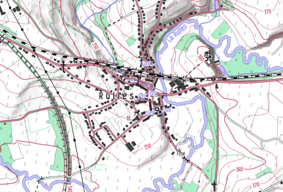
798 followers · 1876 posts · Server post.lurk.org"From 2019, the #cartographic style #OpenArdenneMap is updated every 6 months. OpenArdenneMap is a cartographic style for topographic maps based on #OSM data.OpenArdenneMap was originally developed as a cartographic style with the #imposm importer and a #cartoCSS style derived from #OSMBright. Later the #osm2pgsqlimporter was used instead of the imposm. From 2023, the OpenArdenneMap is also available in #QGIS"
#mapnik #cartography #belgium
https://www.nobohan.be/2023/03/02/openardennemap-hiver-22-23/
#cartographic #OpenArdenneMap #osm #imposm #cartocss #osmbright #osm2pgsqlimporter #qgis #mapnik #cartography #belgium
