
Graham Ward · @edintone
251 followers · 346 posts · Server mastodon.green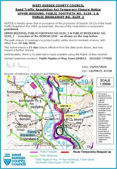
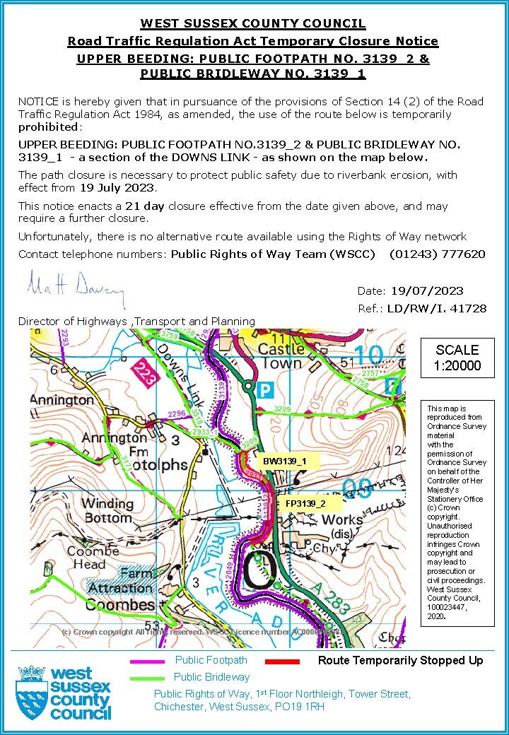
#Downslink #PathClosure #UpperBeeding: PUBLIC FOOTPATH NO.3139_2 & PUBLIC BRIDLEWAY NO. 3139_1 a section of the DOWNS LINK as shown on the map below. The path closure is necessary to protect #PublicSafety due to riverbank erosion, with effect from 19 July 2023. Further info at countryside@westsussex.gov.uk
#downslink #pathclosure #upperbeeding #publicsafety
Graham Ward · @edintone
242 followers · 295 posts · Server mastodon.greenNew cycling / walking route. It is planned to go from the #DownsLink path north of #Steyning to #UpperBeeding and Bramber, crossing the River Adur, West Sussex #WestSussex https://visitsteyning.co.uk/whitebridgelink/
#downslink #steyning #upperbeeding #WestSussex