
Joseph Elfelt · @mappingsupport
498 followers · 430 posts · Server m.ai6yr.org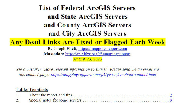
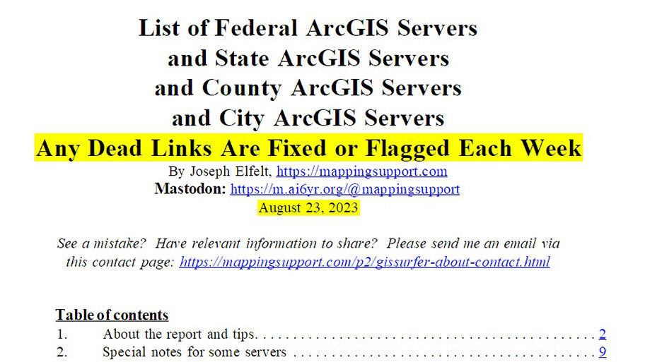
New feature added to curated list of 3,000+ government #ArcGIS server addresses.
The entry for every federal ArcGIS server and state ArcGIS server now shows whether or not that server is hosting any tiled data. #GIS savvy software can display this type of data with XYZ syntax.
See p.5 of the PDF for more information including how to do a google search to check any county/city ArcGIS server for tiled data.
#Spatial #Geospatial #Maps #Mapping #URISA #QGIS
Open PDF:
https://mappingsupport.com/p/surf_gis/list-federal-state-county-city-GIS-servers.pdf
#arcgis #gis #spatial #geospatial #maps #mapping #urisa #qgis
Joseph Elfelt · @mappingsupport
383 followers · 274 posts · Server m.ai6yr.org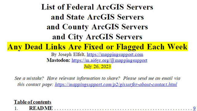
Do you need #GeoSpatial data?
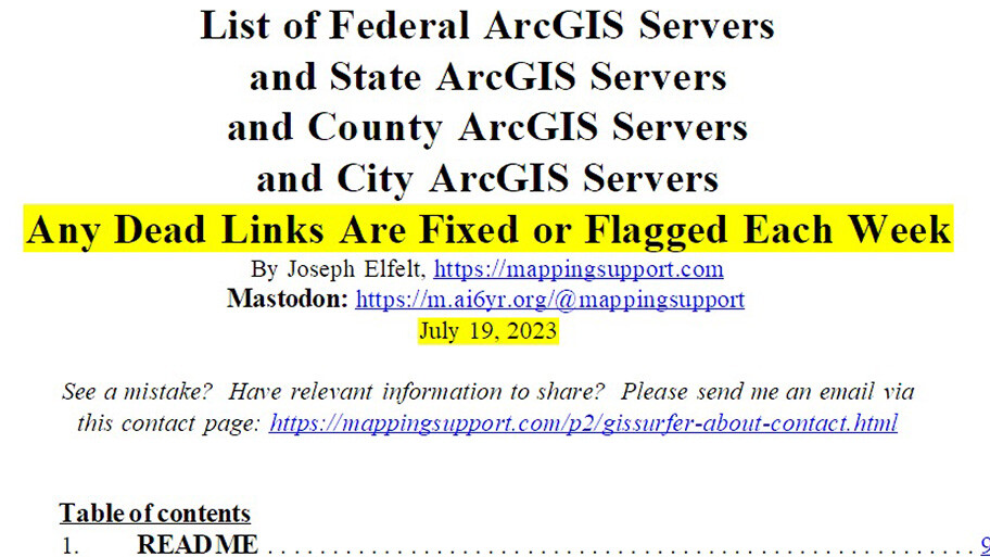
I just posted the weekly update to the #ArcGIS server list that I curate. There are 3,000+ addresses for USA government ArcGIS servers, from federal to local. Each week my code scans each address and any bad links are fixed or flagged.
The list is available as a PDF, csv and txt file. Another volunteer made an API - see p.2 of the PDF.
#Spatial #GIS #Maps #Mapping #URISA
Open PDF:
https://mappingsupport.com/p/surf_gis/list-federal-state-county-city-GIS-servers.pdf
#geospatial #arcgis #spatial #gis #maps #mapping #urisa
Joseph Elfelt · @mappingsupport
329 followers · 245 posts · Server m.ai6yr.org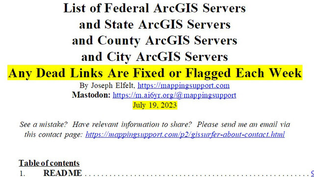
#Data, data and more data.
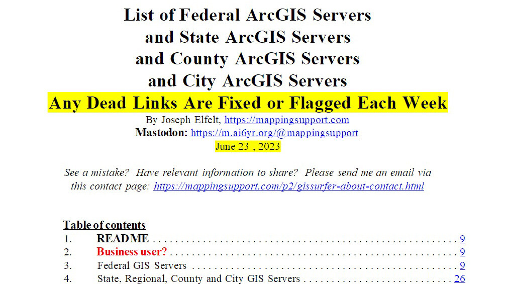
I curate a list of 3,000 addresses for government #ArcGIS servers, from federal to local. Each week my code scans each address and any bad links are fixed or flagged. An updated list is usually posted each Wednesday. Any GIS savvy software can access most of this data.
The list is available as a PDF, csv and txt file. Another volunteer made an API - see p.2 of the PDF. #GeoSpatial #Spatial #GIS #Maps #Mapping #URISA
Open PDF:
https://mappingsupport.com/p/surf_gis/list-federal-state-county-city-GIS-servers.pdf
#data #arcgis #geospatial #spatial #gis #maps #mapping #urisa
Joseph Elfelt · @mappingsupport
154 followers · 93 posts · Server m.ai6yr.org
Looking for #GIS data? I curate a list of 3,000 addresses for government ArcGIS servers, from federal to local. Each week my code scans each address and any bad links are fixed or flagged. An updated list is usually posted each Wednesday.
The list is available as a PDF, csv and txt file. Another volunteer made an API - see p.2 of the PDF. #GeoSpatial #Spatial #ArcGIS #Maps #Mapping #URISA
Open PDF:
https://mappingsupport.com/p/surf_gis/list-federal-state-county-city-GIS-servers.pdf
#gis #geospatial #spatial #arcgis #maps #mapping #urisa

Derek Law · @GIS_Bandit
207 followers · 214 posts · Server mastodon.world#Geography made it to the number 10 spot for best #science #careers. :)
#geographer #geographyteacher #geospatial #GIS #GISchat #mapping #maps #URISA #AAG #mapstodon
#geography #science #careers #geographyteacher #geospatial #GIS #gischat #mapping #maps #mapstodon #geographer #urisa #aag