TC (Tirthankar Chakraborty) · @TC_Chakraborty
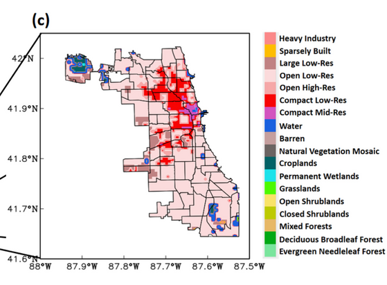
362 followers · 258 posts · Server fediscience.orgWe do this using #urban-resolving regional #climate #model (#WRF) simulations covering the #GreatLakes region, with an inner domain over #Chicago (grid spacing of 500m).
Surface heterogeneity of the #city is represented using Local Climate Zone (#LCZ) classification from #WUDAPT.
#wudapt #LCZ #city #chicago #greatlakes #wrf #model #Climate #urban
Last updated 3 years ago
